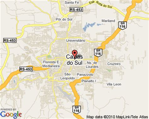
Location: Caxias do Sul 🌎
Location: Caxias do Sul, Brazil
Administration Region: Rio Grande do Sul
Population: 435564
ISO2 Code: Rio Grande do Sul
ISO3 Code: BRA
Location Type:
Latitude: -29.1667
Longitude: -51.1833
Caxias do Sul (Portuguese pronunciation: [kaˈʃi.ɐz du ˈsuw]) is a city in Rio Grande do Sul, Southern Brazil, situated in the state’s mountainous Serra Gaúcha region. It was established by Italian immigrants on June 20, 1890. Today it is the second largest city in the state of Rio Grande do Sul. In 2020, the population of Caxias do Sul was estimated at 517,451 people, many of whom are of Italian and German descent. The demonym of the citizens of Caxias do Sul is Caxiense.

Top Caxias do Sul HD Maps, Free Download 🗺️
Map
Maps
United States
United States
World Map
China
China
