Location: Cebu City 🌎
Location: Cebu City, Philippines
Administration Region: Cebu
Population: 964169
ISO2 Code: Cebu
ISO3 Code: PHL
Location Type: First-level Admin Capital
Latitude: 10.293
Longitude: 123.902
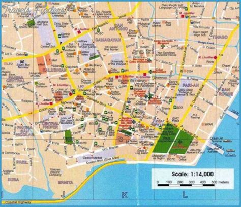
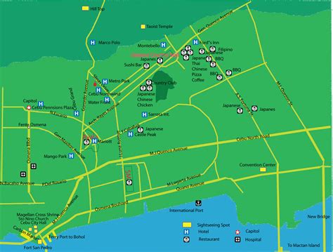
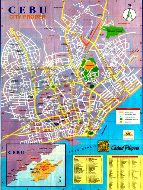
Cebu City, officially the City of Cebu (Cebuano: Dakbayan sa Sugbo; Filipino: Lungsod ng Cebu), is a 1st class highly urbanized city in the Central Visayas region of the Philippines. It is the capital of the Cebu Province, where it is geographically located but is one of three cities (together with Lapu-Lapu City and Mandaue City) that are administratively independent of the provincial government. According to the 2020 census, it has a population of 964,169 people, making it the sixth-most populated city in the nation and the most populous in the Visayas.
It also serves as the regional center of Central Visayas and its metropolitan area exerts influence on commerce, trade, industry, education, culture, tourism, and healthcare beyond the region, over the entire Visayas and partly over Mindanao. It is the Philippines’ main domestic shipping port and is home to about 80% of the country’s domestic shipping companies.
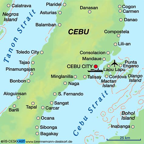
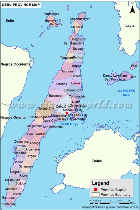
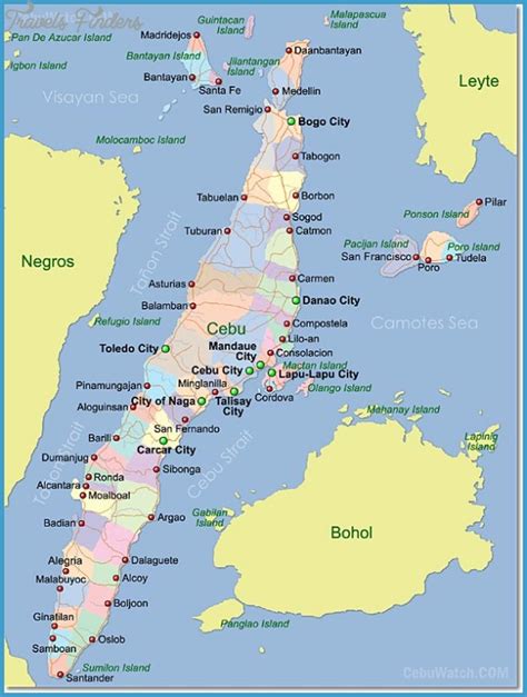
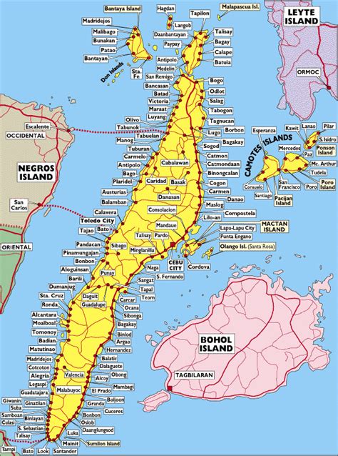
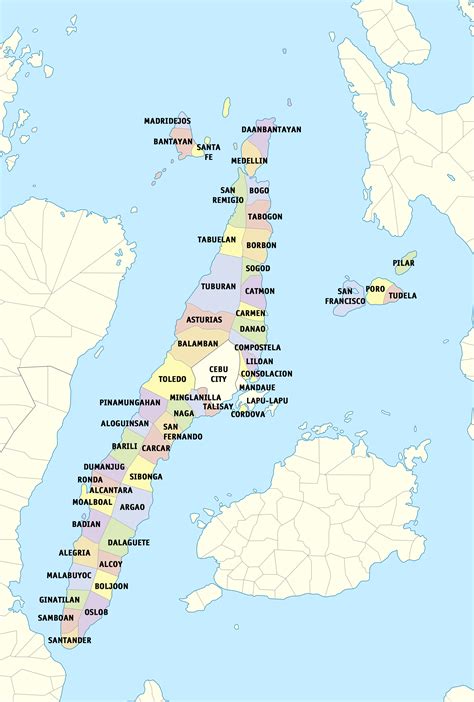
Cebu City is bounded on the north by the town of Balamban and the city of Danao, on the west by the city of Toledo, on the east by the cities of Lapu-Lapu and Mandaue and the towns of Liloan, Consolacion and Compostela and to the south by the city of Talisay. Located at the center of the eastern seaboard of Cebu Island, it is the core city of Metro Cebu, the second largest metropolitan area in the Philippines, which includes the cities of Carcar, Danao, Lapu-Lapu, Mandaue, Naga and Talisay and the municipalities (towns) of Compostela, Consolacion, Cordova, Liloan, Minglanilla and San Fernando. Metro Cebu had a total population of 3,165,799 as of the 2020 census, making it the third-most populous metropolitan area of the nation, after Metro Manila in Luzon and Metro Davao in Mindanao.The current political boundaries of the city are an incorporation of the former municipalities of Cebu, San Nicolas, El Pardo, Mabolo, Talamban and Banilad in the Commonwealth period.In the Precolonial period, the area of what is today Cebu was occupied by the Rajahnate of Cebu which was known to the Ming dynasty as the nation of Sokbu (束務). The capital of which was Singhapala (சிங்கப்பூர்) which is Tamil-Sanskrit for “Lion City”, the same rootwords with the modern city-state of Singapore.
The city has experienced rapid economic growth since the 1990s, a phenomenon also known as “Ceboom”. Owing to its economic importance and influence in modern times, Cebu City is also popularly referred to as the Queen City of the South.

Top Cebu City HD Maps, Free Download 🗺️
Map
Maps
United States
United States
World Map
China
China
