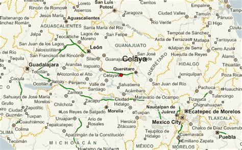
Celaya ([seˈlaja]; pronunciation ) is a city and its surrounding municipality in the state of Guanajuato, Mexico, located in the southeast quadrant of the state. It is the third most populous city in the state, with a 2005 census population of 310,413. The municipality for which the city serves as municipal seat, had a population of 415,869. The city is located in the geographic center of the municipality, which has an areal extent of 553.18 km2 (213.58 sq mi) and includes many smaller outlying communities, the largest of which are San Miguel Octopan, Rincón de Tamayo and San Juan de la Vega.
There are many smaller towns around Celaya including Rincón de Tamayo, Tarimoro, Villagrán, La Moncada, Panales Jamaica (Cañones), Panales Galera, La Calera, La Estancia, La Noria, Los Fierros, El Acebuche, Cacalote, and Charco Largo. It is also not far away from Cortazar, Salamanca, Salvatierra, Apaseo el Grande, Querétaro City and among others. The city was founded in 1570 as Villa de la Purisíma Concepción de Zalaya. The word Zalaya is of Basque origin and means “Flat Land”.