Location: Celje 🌎
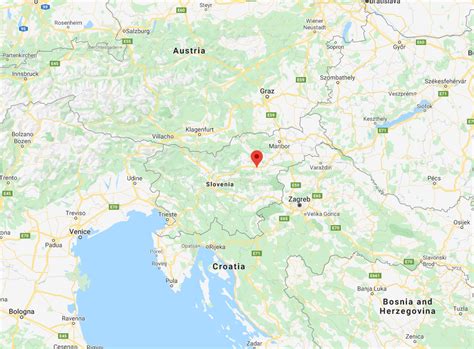
Location: Celje, Slovenia
Administration Region: Celje
Population: 37872
ISO2 Code: Celje
ISO3 Code: SVN
Location Type: First-level Admin Capital
Latitude: 46.2358
Longitude: 15.2675
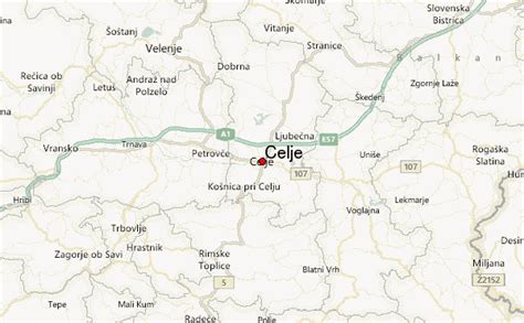
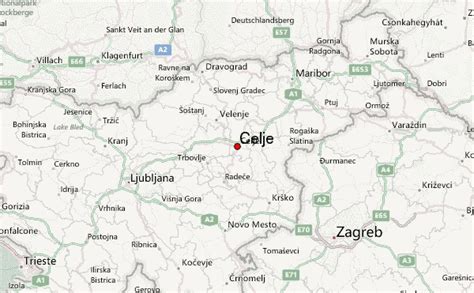
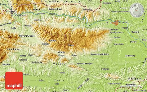
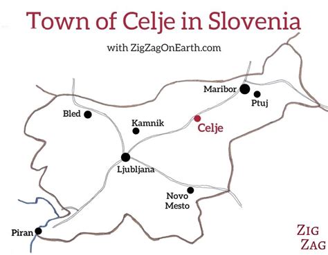
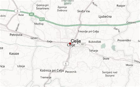
Celje (pronounced [ˈtsɛ̀ːljɛ] , German: Cilli, German pronunciation: [ˈt͡sɪli] ) is the fourth-largest city in Slovenia. It is a regional center of the traditional Slovenian region of Styria and the administrative seat of the City Municipality of Celje (Slovene: Mestna občina Celje). The town of Celje is located below Upper Celje Castle (407 m or 1,335 ft) at the confluence of the Savinja, Hudinja, Ložnica, and Voglajna rivers in the lower Savinja Valley, and at the crossing of the roads connecting Ljubljana, Maribor, Velenje, and the Central Sava Valley. It lies 238 m (781 ft) above mean sea level (MSL).

Top Celje HD Maps, Free Download 🗺️
Map
Maps
United States
United States
World Map
China
China
