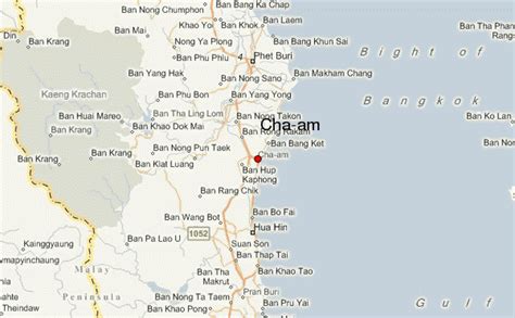
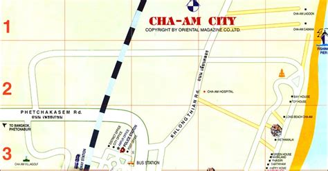
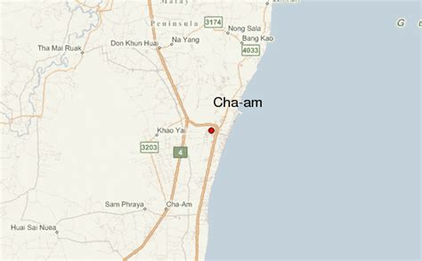
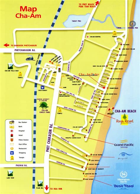
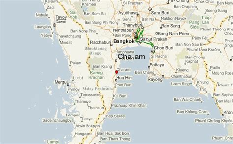
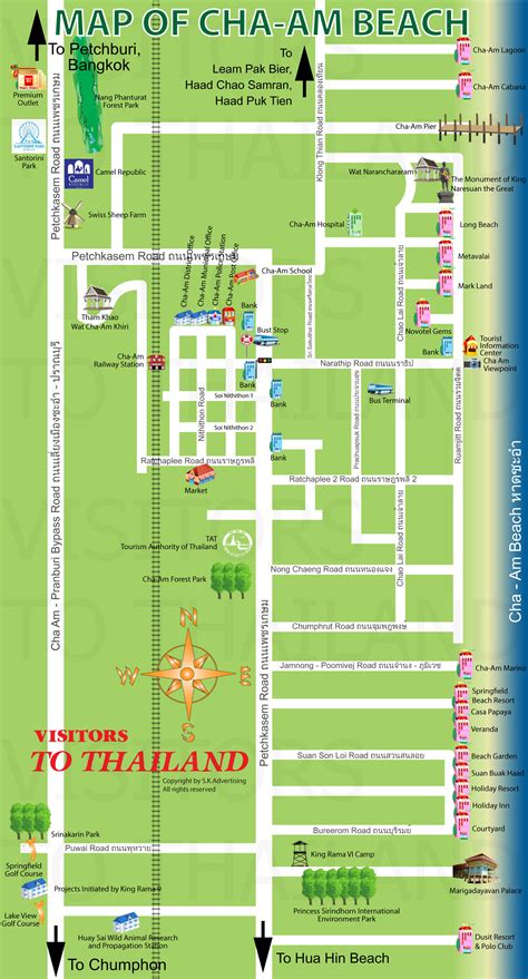
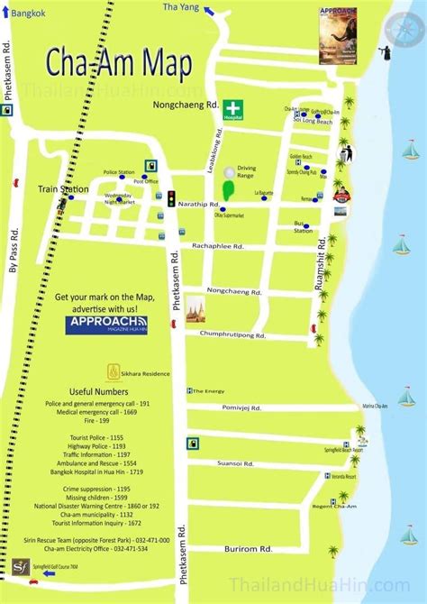
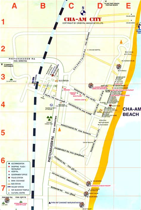
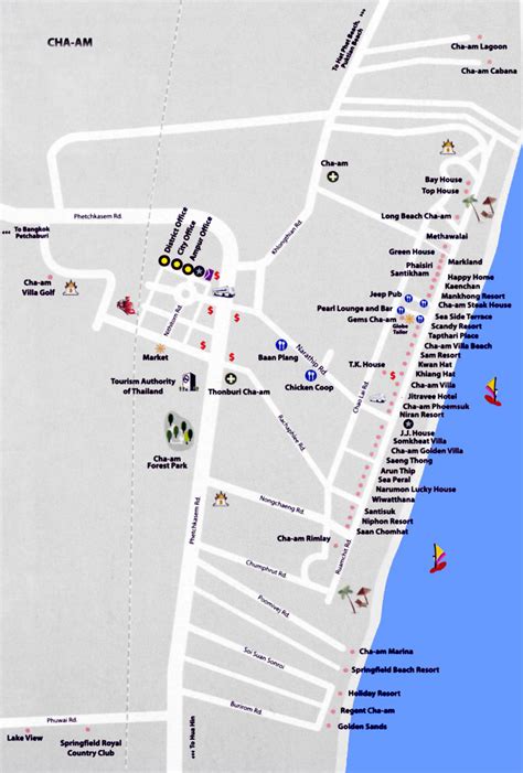
Location: Cha-am 🌎
Location: Cha-am, Thailand
Administration Region: Phetchaburi
Population: 35581
ISO2 Code: Phetchaburi
ISO3 Code: THA
Location Type: Lower-level Admin Capital
Latitude: 12.7997
Longitude: 99.9669
Cha-am (Thai: ชะอำ, pronounced [t͡ɕʰáʔām] or [t͡ɕʰāʔām]) is a district (amphoe) in the southern part of Phetchaburi province, western Thailand.The district was established in 1897 with the name Na Yang. In 1914 the centre of the district was moved to Ban Nong Chok (now in Tha Yang district and its name was changed to Nong Chok. After World War II, the government moved the office to tambon Cha-am and also changed the district name to Cha-am.
Mrigadayavan Palace (Thai: พระราชนิเวศน์มฤคทายวัน, RTGS: Phra Ratchaniwet Maruekkhathayawan) in Cha-am district is a former residence of King Vajiravudh or Rama VI who ruled Siam from 1910 to 1925.
Top Cha-am HD Maps, Free Download 🗺️
Map
Maps
United States
United States
World Map
China
China
