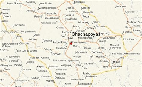
Location: Chachapoyas 🌎
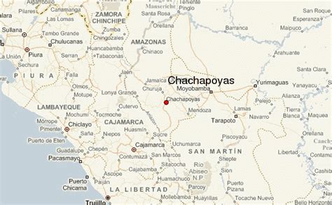
Location: Chachapoyas, Peru
Administration Region: Amazonas
Population: 32026
ISO2 Code: Amazonas
ISO3 Code: PER
Location Type: First-level Admin Capital
Latitude: -6.2167
Longitude: -77.85
Chachapoyas (Spanish pronunciation: [tʃa.tʃaˈpo.ʝas]) is a city in northern Peru at an elevation of 2,335 meters (7,661 ft). The city has a population of 32,026 people (2017). Situated in the mountains far from the Peruvian coast, Chachapoyas remains fairly isolated from other regions of Peru. It is served by buses to Chiclayo and Cajamarca, and flights to domestic locations from Chachapoyas Airport.
The city of Chachapoyas is the capital of the Amazonas Region. It was founded on September 5, 1538, by the Spanish conquistador Alonso de Alvarado “and his twenty”. Local agriculture includes sugar cane, orchid and coffee growing. Chachapoyas’ transitional location between the arid Cordillera Occidental and Cordillera Central and the rainy, rainforested Cordillera Oriental, allow it to receive generally moderate annual precipitation without experiencing the copiously excessive, tropical-rainforest-like precipitation amounts in towns farther east such as Moyobamba.

Top Chachapoyas HD Maps, Free Download 🗺️
Map
Maps
United States
United States
World Map
China
China


