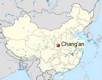
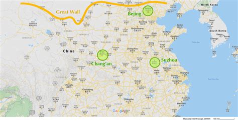
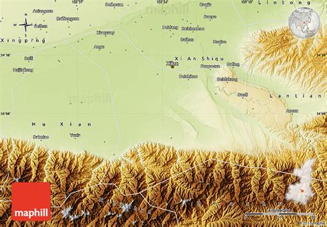
Location: Chang’an 🌎
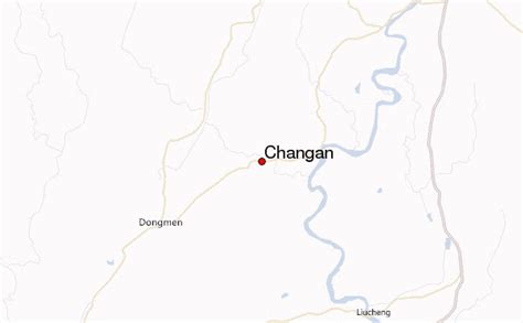
Location: Chang’an, China
Administration Region: Hunan
Population: 537500
ISO2 Code: Hunan
ISO3 Code: CHN
Location Type: Lower-level Admin Capital
Latitude: 34.3083
Longitude: 108.8583
Chang’an ([ʈʂʰǎŋ.án] ; traditional Chinese: 長安; simplified Chinese: 长安; pinyin: Cháng’ān) is the traditional name of Xi’an. The site had been settled since Neolithic times, during which the Yangshao culture was established in Banpo, in the city’s suburbs. Furthermore, in the northern vicinity of modern Xi’an, Qin Shi Huang of the Qin dynasty, China’s first emperor, held his imperial court, and constructed his massive mausoleum guarded by the Terracotta Army.
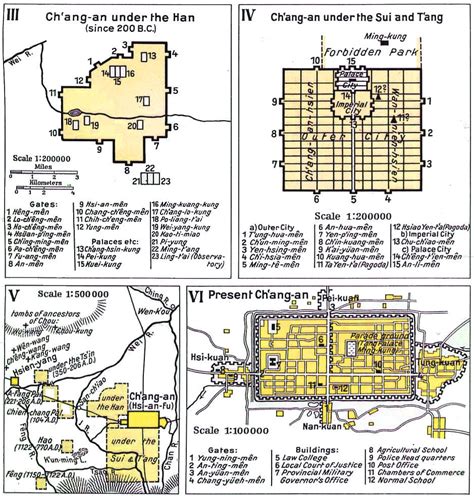
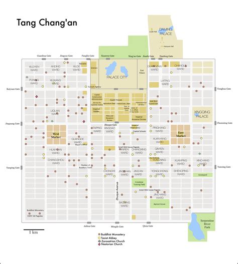
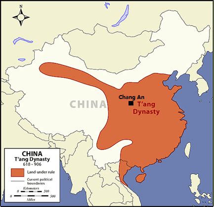
From its capital at Xianyang, the Qin dynasty ruled a larger area than either of the preceding dynasties. The imperial city of Chang’an during the Han dynasty was located northwest of today’s Xi’an. During the Tang dynasty, the area that came to be known as Chang’an included the area inside the Ming Xi’an fortification, plus some small areas to its east and west, and a substantial part of its southern suburbs. Thus, Tang Chang’an was eight times the size of the Ming Xi’an, which was reconstructed upon the site of the former imperial quarters of the Sui and Tang city. During its heyday, Chang’an was one of the largest and most populous cities in the world. Around AD 750, Chang’an was called a “million man city” in Chinese records, with modern estimates putting it at around 800,000–1,000,000 within city walls. According to the census in 742 recorded in the New Book of Tang, 362,921 families with 1,960,188 persons were counted in Jingzhao Fu (京兆府), the metropolitan area including small cities in the vicinity.

Top Chang’an HD Maps, Free Download 🗺️
Map
Maps
United States
United States
World Map
China
China

