Location: Châtenay-Malabry 🌎
Location: Châtenay-Malabry, France
Administration Region: Île-de-France
Population: 34170
ISO2 Code: Île-de-France
ISO3 Code: FRA
Location Type:
Latitude: 48.7653
Longitude: 2.2781
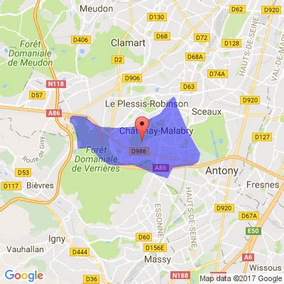
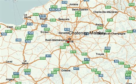
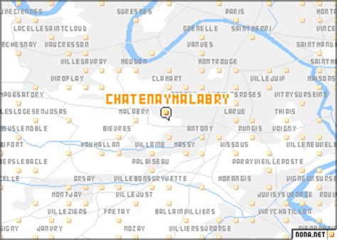
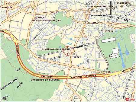
Châtenay-Malabry (French pronunciation: [ʃatnɛ malabʁi] ) is a commune in the southwestern suburbs of Paris. It is located 10.8 km (6.7 mi) from the center of Paris.
The French writer Chateaubriand lived in the estate Vallée-aux-Loups at Châtenay-Malabry. The Garden City in the Butte Rouge, the Cité Jardins, is one of the earliest examples of housing at moderated rents (HLM).
Châtenay is the location of École Centrale Paris, of the Faculty of Pharmacy of the University of Paris-Sud and of French national laboratory of doping detection. It is also the home of the Arboretum de la Vallée-aux-Loups. The high-speed LGV Atlantique crosses the city through a tunnel covered by a park called Coulée verte (greenway).
From 31 December 2002, it was part of the Agglomeration community of Hauts de Bièvre, which merged into the Métropole du Grand Paris in January 2016.
Top Châtenay-Malabry HD Maps, Free Download 🗺️
Map
Maps
United States
United States
World Map
China
China


