Location: Chelyabinsk 🌎
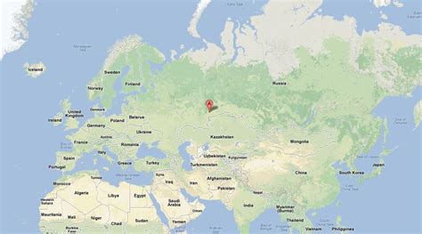
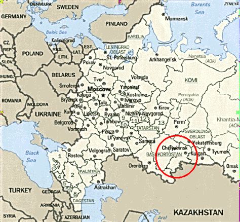
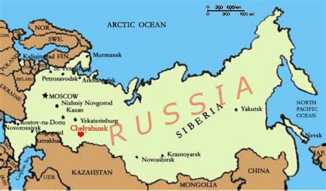
Location: Chelyabinsk, Russia
Administration Region: Chelyabinskaya Oblast’
Population: 1202371
ISO2 Code: Chelyabinskaya Oblast’
ISO3 Code: RUS
Location Type: First-level Admin Capital
Latitude: 55.1547
Longitude: 61.3758
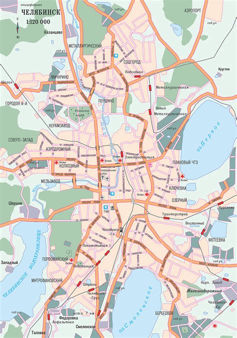
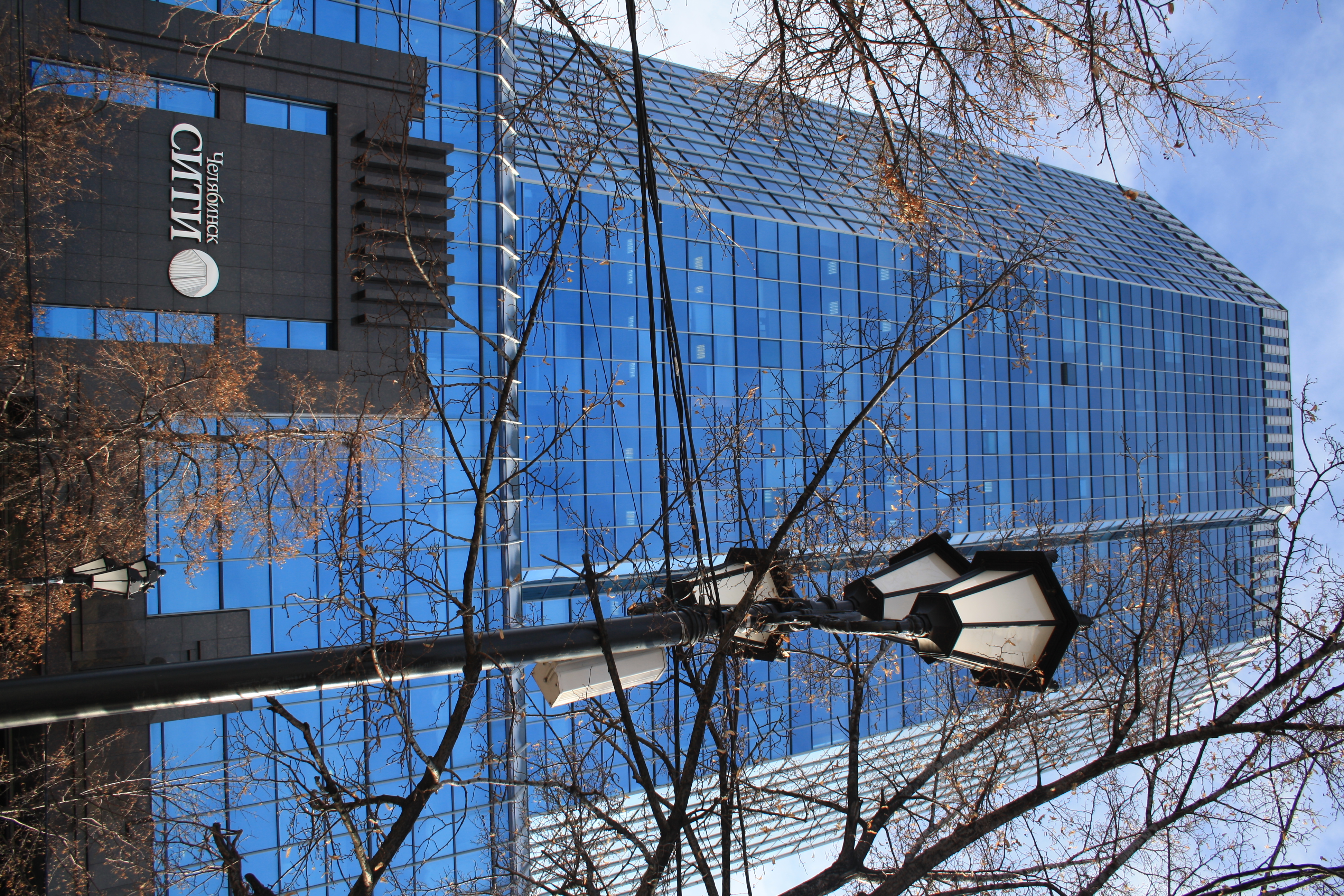
Chelyabinsk (Russian: Челя́бинск, IPA: [tɕɪˈlʲæbʲɪnsk] ; Bashkir: Силәбе, Siläbe) is the administrative center and largest city of Chelyabinsk Oblast, Russia. It is the seventh-largest city in Russia, with a population of over 1.1 million people, and the second-largest city in the Ural Federal District, after Yekaterinburg. Chelyabinsk runs along the Miass River, and is just east of the Ural Mountains.
The area of Chelyabinsk contained the ancient settlement of Arkaim, which belonged to the Sintashta culture. In 1736, a fortress by the name of Chelyaba was founded on the site of a Bashkir village. Chelyabinsk was granted town status by 1787. Chelyabinsk began to grow rapidly by the early 20th century as a result of the construction of railway links from the Russian core to Siberia, including the Trans-Siberian Railway. Its population reached 70,000 by 1917. Under the Soviet Union, Chelyabinsk became a major industrial centre during the 1930s. The Chelyabinsk Tractor Plant was built in 1933. During World War II, the city was a major contributor to the manufacture of tanks and ammunition.
Chelyabinsk remains an important industrial centre, especially heavy industries such as metallurgy and military production. It is home to several educational institutions, mainly South Ural State University and Chelyabinsk State University.
Top Chelyabinsk HD Maps, Free Download 🗺️
Map
Maps
United States
United States
World Map
China
China
