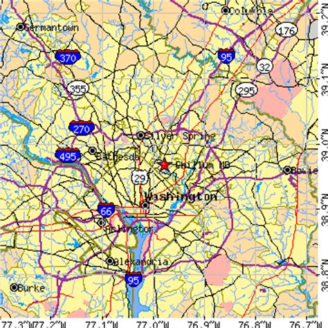
Location: Chillum 🌎
Location: Chillum, United States
Administration Region: Maryland
Population: 36428
ISO2 Code: Maryland
ISO3 Code: USA
Location Type:
Latitude: 38.9683
Longitude: -76.9792
Chillum is an unincorporated area and census-designated place in Prince George’s County, Maryland, United States, bordering Washington, D.C. and Montgomery County.
In addition to being its own unincorporated neighborhood, Chillum is also a census-designated place covering a larger area than the Chillum neighborhood. As of the 2010 census, the Chillum CDP included Chillum, as well as the adjacent unincorporated communities of Avondale, Carole Highlands, Green Meadows, and Lewisdale. The population was 36,039 at the 2020 census.Chillum, the neighborhood, is contained between the Northwest Branch Anacostia River to the east, East West Highway (MD 410) and the Sligo Creek River to the north, New Hampshire Avenue (MD 650) to the west, and Eastern Avenue NE to the south. Chillum borders the adjacent communities of Avondale, Green Meadows, and Carole Highlands in Prince George’s County as well as the city of Takoma Park in Montgomery County, and the Riggs Park (also known as, “Lamond Riggs”), Queens Chapel, and North Michigan Park neighborhoods of Northeast Washington D.C.
Top Chillum HD Maps, Free Download 🗺️
Map
Maps
United States
United States
World Map
China
China
