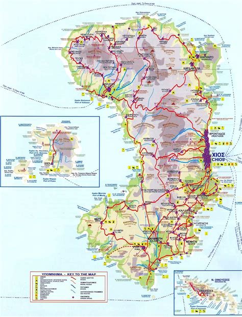
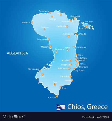
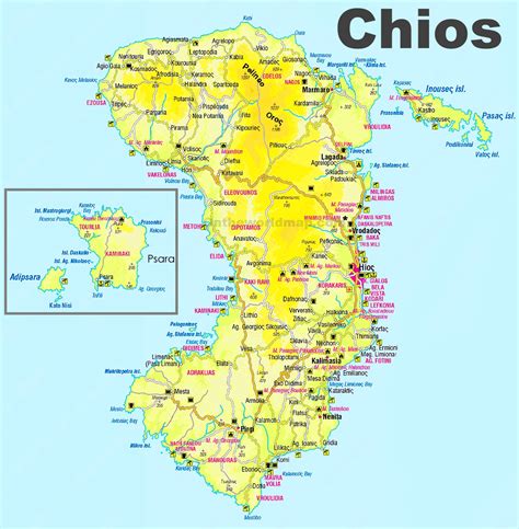
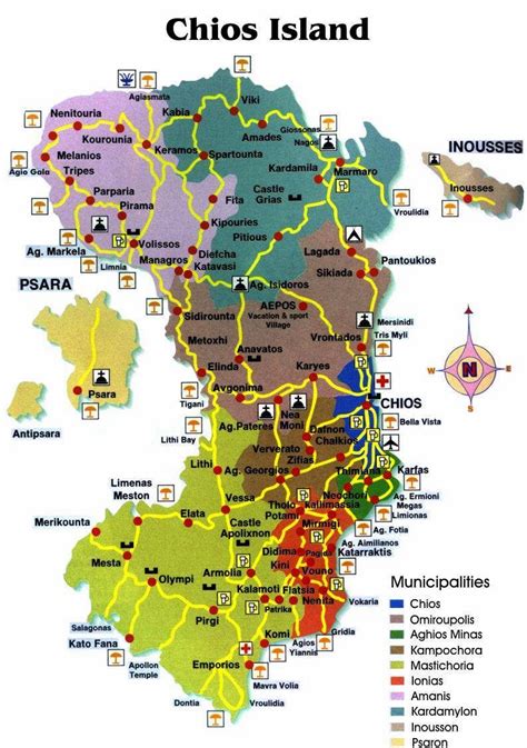
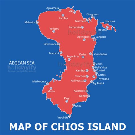
Location: Chíos 🌎
Location: Chíos, Greece
Administration Region: Vóreio Aigaío
Population: 26850
ISO2 Code: Vóreio Aigaío
ISO3 Code: GRC
Location Type: Lower-level Admin Capital
Latitude: 38.3775
Longitude: 26.065
Chios (; Greek: Χίος, romanized: Chíos [ˈçi.os] , traditionally known as Scio in English) is the fifth largest Greek island, situated in the northern Aegean Sea, and the tenth largest island in the overall Mediterranean Sea. The island is separated from Turkey by the Chios Strait. Chios is notable for its exports of mastic gum and its nickname is “the Mastic Island”. Tourist attractions include its medieval villages and the 11th-century monastery of Nea Moni, a UNESCO World Heritage Site.
Administratively, the island forms a separate municipality within the Chios regional unit, which is part of the North Aegean region. The principal town of the island and seat of the municipality is Chios. Locals refer to Chios town as Chora (Χώρα literally means land or country, but usually refers to the capital or a settlement at the highest point of a Greek island).
The island was also the site of the Chios massacre, in which thousands of Greeks on the island were massacred, expelled, and enslaved by Ottoman troops during the Greek War of Independence in 1822. Chios remained a part of the Ottoman Empire until 1912.

Top Chíos HD Maps, Free Download 🗺️
Map
Maps
United States
United States
World Map
China
China


