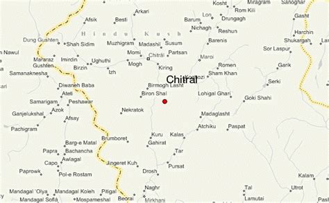
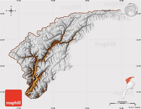
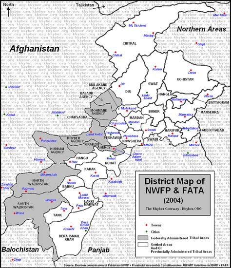
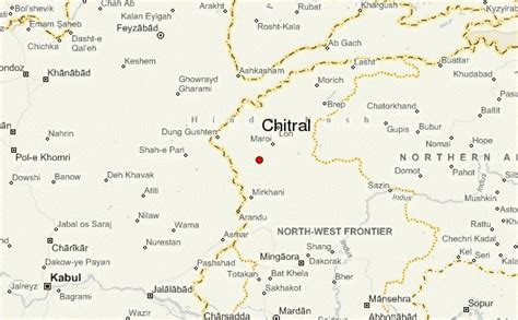
Location: Chitral 🌎
Location: Chitral, Pakistan
Administration Region: Khyber Pakhtunkhwa
Population: 31100
ISO2 Code: Khyber Pakhtunkhwa
ISO3 Code: PAK
Location Type: Lower-level Admin Capital
Latitude: 35.8461
Longitude: 71.7858
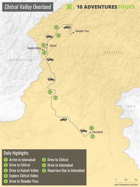
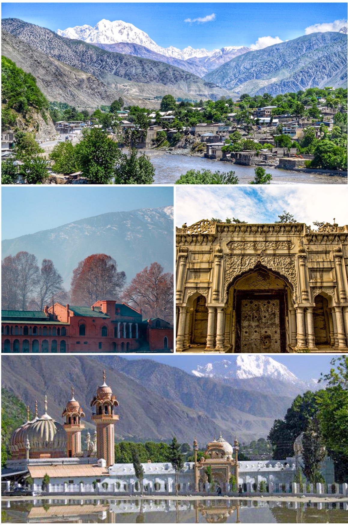
Chitral (Khowar: چھترار, romanized: ćhitrār, lit. ’field’; Urdu: چترال, romanized: ćitrāl) is situated on the Chitral River in northern Khyber Pakhtunkhwa, Pakistan. It serves as the capital of the Chitral District and before that as the capital of Chitral princely state that encompassed the region until its direct incorporation into West Pakistan on 14 August 1947. It has a population of 49,780 per the 2017 census.
Top Chitral HD Maps, Free Download 🗺️
Map
Maps
United States
United States
World Map
China
China

