Location: Chur 🌎
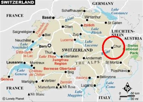
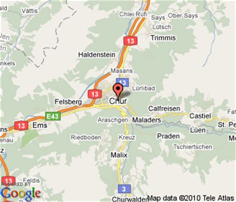
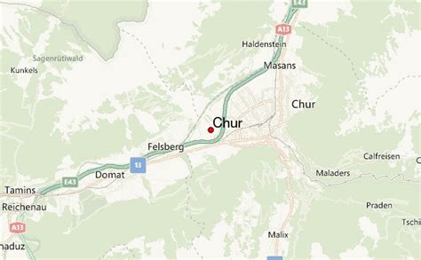
Location: Chur, Switzerland
Administration Region: Graubünden
Population: 35038
ISO2 Code: Graubünden
ISO3 Code: CHE
Location Type: First-level Admin Capital
Latitude: 46.85
Longitude: 9.5333
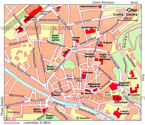
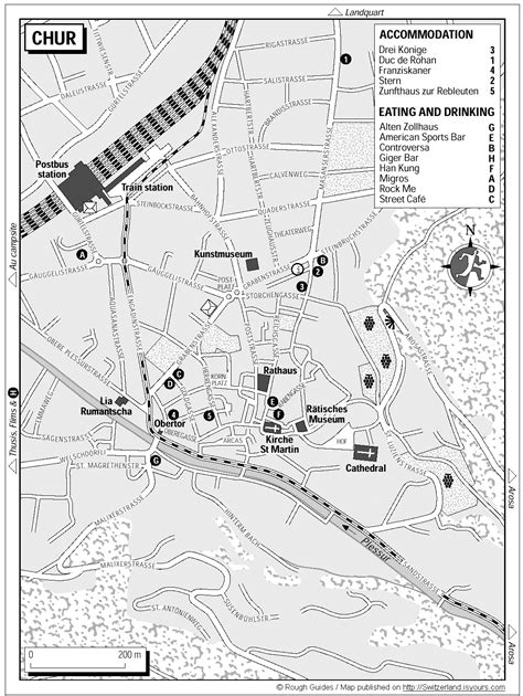
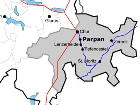
Chur (German: [xuːr], locally [kuːr]; Italian: Coira [ˈkɔira]; Sursilvan: Cuera [ˈkweːʁə] ; Vallader: Cuoira [ˈkuɔ̯jrɐ] ; Puter and Rumantsch Grischun: Cuira [ˈkujrɐ] ; Surmiran: Coira; Sutsilvan: Cuera or Cuira; French: Coire [kwaʁ]) is the capital and largest town of the Swiss canton of the Grisons and lies in the Grisonian Rhine Valley, where the Rhine turns towards the north, in the northern part of the canton. The city, which is located on the right bank of the Rhine, is reputedly the oldest town of Switzerland.The official language of Chur is German, but the main spoken language is the local variant of Alemannic, known as Grisonian German. Romansh and Italian are significantly spoken in the city as a result of the trilingual identity of the canton.
On 1 January 2020, the former municipality of Maladers merged into Chur, and on 1 January 2021, Haldenstein also merged.

Top Chur HD Maps, Free Download 🗺️
Map
Maps
United States
United States
World Map
China
China
