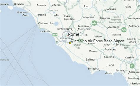
Location: Ciampino 🌎
Location: Ciampino, Italy
Administration Region: Lazio
Population: 38645
ISO2 Code: Lazio
ISO3 Code: ITA
Location Type:
Latitude: 41.7994
Longitude: 12.5972
Rome–Ciampino International Airport “G. B. Pastine” (Italian: Aeroporto Internazionale di Roma–Ciampino “G. B. Pastine”) (IATA: CIA, ICAO: LIRA), is the secondary international airport of Rome, the capital of Italy, after Rome-Fiumicino Airport “Leonardo da Vinci”. It is a joint civilian, commercial and military airport situated 6.5 NM (12.0 km; 7.5 mi) south southeast of central Rome, just outside the Greater Ring Road (Italian: Grande Raccordo Anulare or GRA) the circular motorway around the city.
The airport is an important hub for many low-cost carriers and general aviation traffic. It also hosts a military airport and the headquarters of the 31º Stormo and the 2nd Reparto Genio of the Italian Air Force. The airport is named after Giovan Battista Pastine, an Italian airship pilot who served in World War I.
Top Ciampino HD Maps, Free Download 🗺️
Map
Maps
United States
United States
World Map
China
China
