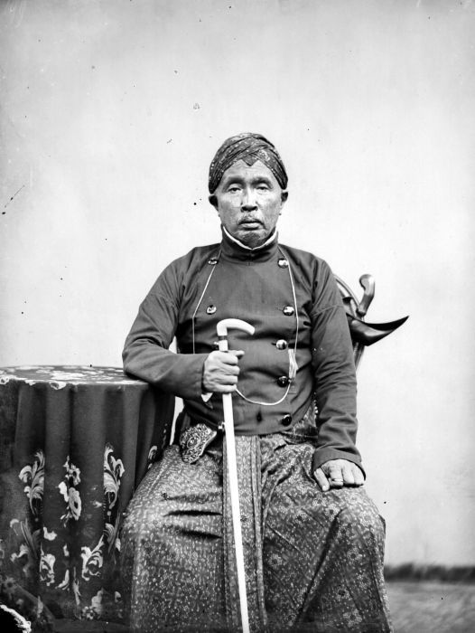
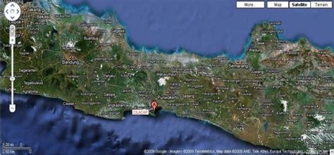
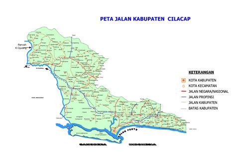
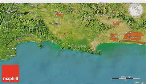
Cilacap Regency (Javanese: ꦏꦨꦸꦥꦠꦺꦤ꧀ꦕꦶꦭꦕꦥ꧀, also spelt: Chilachap, old spelling: Tjilatjap, Sundanese: ᮊᮘᮥᮕᮒᮦᮔ᮪ ᮎᮤᮜᮎᮕ᮪) is a regency (Indonesian: kabupaten) in the southwestern part of Central Java province in Indonesia. Its capital is the town of Cilacap.
Cilacap Regency covers an area of 2,252.50 km2 (including the 115-km2 Nusakambangan Island off the south coast), and it had a population of 1,642,107 at the 2010 Census and 1,944,857 at the 2020 Census; the official estimate as at mid 2021 was 1,963,824. The languages used in Cilacap are the Javanese language and Sundanese language, but most people can speak Indonesian. The dialect used is Banyumasan.
There are schools of all levels in Cilacap and several higher-learning institutions. There are several academies such as Akademi Maritim Nusantara (National Maritime Academy). A polytechnic, called Politeknik Cilacap, was established in 2008 and offers education in Engineering, Electronics and Informatics.