Location: Cimahi 🌎
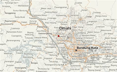
Location: Cimahi, Indonesia
Administration Region: Jawa Barat
Population: 586580
ISO2 Code: Jawa Barat
ISO3 Code: IDN
Location Type:
Latitude: -6.8712
Longitude: 107.5548
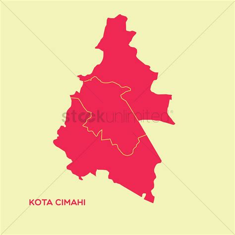
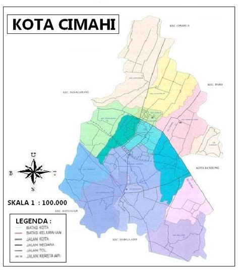
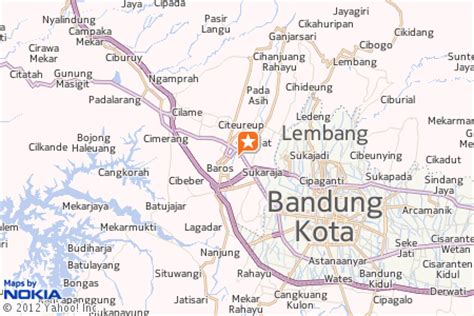
Cimahi (Indonesian pronunciation: [tʃimahi]) is a landlocked city located immediately west of the larger city of Bandung, in West Java Province, Indonesia and within the Bandung Metropolitan Area. It covers an area of 40.37 km2 and had a population at the 2010 Census of 541,177 and at the 2020 Census of 568,400; the official estimate as at mid 2021 was 571,632. The city is a major textile producer, and is home to several military training centres.

Top Cimahi HD Maps, Free Download 🗺️
Map
Maps
United States
United States
World Map
China
China


