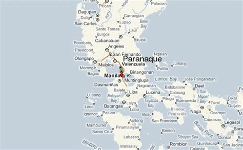
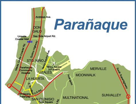
Parañaque, officially the City of Parañaque (Filipino: Lungsod ng Parañaque, Tagalog pronunciation: [paɾɐˈɲäke̞]), is a first class highly urbanized city in the National Capital Region of the Philippines. According to the 2020 census, it has a population of 689,992 people. It is bordered to the north by Pasay, to the northeast by Taguig, to the southeast by Muntinlupa, to the southwest by Las Piñas, and to the west by Manila Bay. Like the rest of Metro Manila, Parañaque experiences a tropical climate with only two distinct seasons, wet (July to September) and dry (October to June). The city enjoys an annual rainfall of 1,822 millimeters (71.7 in) and an average daily maximum temperature of 34.4 °C (93.9 °F).Parañaque is the home of the PAGCOR Entertainment City, a gaming and entertainment complex under development by the state owned Philippine Amusement and Gaming Corporation spanning an area of 8 km2 (3.1 sq mi) in Bay City, where four large integrated resorts are based namely Solaire Resort & Casino, City of Dreams Manila, Okada Manila, and the soon to be completed Westside City Resorts World. It is also the home of the Parañaque Integrated Terminal Exchange public transport and the Aseana City business district development which includes Ayala Malls Manila Bay.