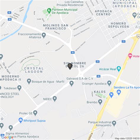
Location: Ciudad Apodaca 🌎
Location: Ciudad Apodaca, Mexico
Administration Region: Nuevo León
Population: 523370
ISO2 Code: Nuevo León
ISO3 Code: MEX
Location Type: Lower-level Admin Capital
Latitude: 25.7817
Longitude: -100.1886
Apodaca (Spanish pronunciation: [apoˈðaka]) is a city and its surrounding municipality that is part of Monterrey Metropolitan area. It lies in the northeastern part of the Monterrey Metropolitan Area. It is known for becoming recently a heavy industrialized city. As of 2019, the city houses 70% of the industrial plants of the state of Nuevo León. Apodaca is as well the fourth most exporting city in México. The municipality has an area of 183.5 km2. The population has recently increased from around 115,000 people in 1990 to almost 600,000 in 2015. Being one of the fastest-growing territories in terms of population in the Metropolitan Area, becoming the third most populous municipality as of 2015. The municipality is home to Monterrey International Airport which is considered to be the fourth most important in the country and is also one of the municipalities main employers.
Top Ciudad Apodaca HD Maps, Free Download 🗺️
Map
Maps
United States
United States
World Map
China
China
