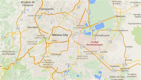
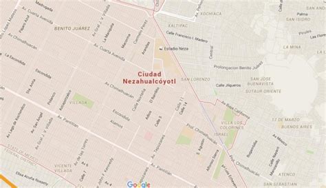
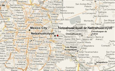
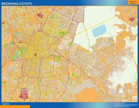
Nezahualcóyotl (Spanish pronunciation: [sjuˈðað nesawalˈkoʝotl]), or more commonly Neza, is a city and municipal seat of the municipality of Nezahualcóyotl in Mexico. It is located in the state of Mexico, adjacent to the east side of Mexico City. The municipality comprises its own intrastate region, Region IX (Mexico State).
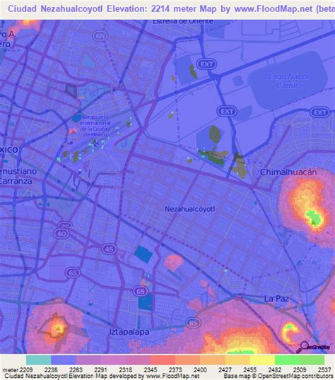
It was named after Nezahualcoyotl, the Acolhua poet and king of nearby Texcoco, which was built on the drained bed of Lake Texcoco. The name Nezahualcóyotl comes from Nahuatl, meaning “fasting coyote”. Nezahualcóyotl’s heraldry includes an Aztec glyph as well as a coat of arms. The glyph depicts the head of a coyote, tongue outside the mouth with a collar or necklace as a symbol of royalty (one of the ways of depicting the Aztec king). The current coat of arms, which includes the glyph, was authorized by the municipality in the 1990s.Until the 20th century, the land on which Ciudad Neza sits was under Lake Texcoco and uninhabited. Successful draining of the lake in the early 20th century created new land, which the government eventually sold into private hands. However, public services such as adequate potable water, electricity and sewerage were lacking until after the area was made an independent municipality in 1963. Today, Ciudad Neza is a sprawling city of over one million, entirely with modern buildings.
As of 2006, Nezahualcóyotl includes part of the world’s largest shanty town, along with Chalco and Ixta. Most of its population is poor and have migrated from other parts of Mexico. It also has a very high crime rate, in part due to cholos, gangs that formed in the 1990s based upon gangs in the United States (especially Los Angeles). Since the 2000s, a significant number of natives of this city have immigrated to the United States, mostly settling in New York. This has led to a new Mexican subculture in the area.