Location: Cloppenburg 🌎
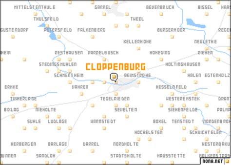
Location: Cloppenburg, Germany Administration Region: Lower Saxony Population: 36183 ISO2 Code: Lower Saxony ISO3 Code: DEU Location Type: Lower-level Admin Capital Latitude: 52.85 Longitude: 8.05
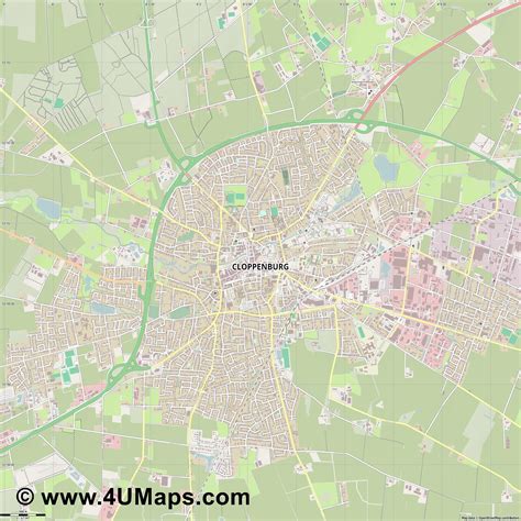
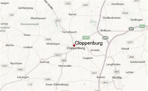
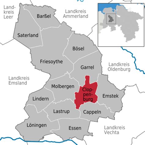
Cloppenburg (German: [ˈklɔpm̩ˌbʊʁk] ; Low German: Cloppenborg; Saterland Frisian: Kloppenbuurich) is a town in Lower Saxony, Germany, capital of Cloppenburg District and part of Oldenburg Münsterland. It lies 38 km south-south-west of Oldenburg in the Weser-Ems region between Bremen and the Dutch border. Cloppenburg is not far from the A1, the major motorway connecting the Ruhr area to Bremen and Hamburg. Another major road is the federal highway B213 being the shortest link from the Netherlands to the A1 and thus to Bremen and Hamburg. The town had strong cultural links with St Munchins Parish in Limerick, Ireland from the 1970s to the 1990s. During this period many groups of teens/young adults from both areas visited and were hosted by families from the other area.

Top Cloppenburg HD Maps, Free Download 🗺️
Map
Maps
United States
United States
World Map
China
China