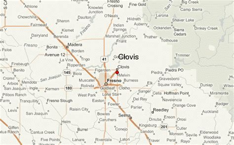
Location: Clovis 🌎
Location: Clovis, United States
Administration Region: California
Population: 118488
ISO2 Code: California
ISO3 Code: USA
Location Type:
Latitude: 36.8253
Longitude: -119.7031
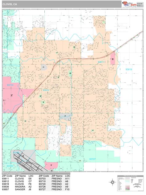
Clovis is a city in Fresno County, California, United States. Clovis was established in 1890 as a freight stop for the San Joaquin Valley Railroad by a group of Fresno businessmen and Michigan railroad speculator Marcus Pollasky. The railroad bought the land from two farmers and named the station after one of them, Clovis Cole. Pollasky then developed a town on the site, also named Clovis.
The completion of the lumber flume in 1894 led to the growth of the area around Clovis Station where a lumberyard and sawmill were built. Clovis was officially incorporated as a city in 1912. Today, Clovis celebrates its heritage as an American frontier town, known for its rodeo, Old Town Clovis historic district, and its motto “Clovis – A Way of Life.”
The 2020 population was 120,124. Clovis is located 6.5 miles (10.5 km) northeast of downtown Fresno, at an elevation of 361 feet (110 m).
Top Clovis HD Maps, Free Download 🗺️
Map
Maps
United States
United States
World Map
China
China
