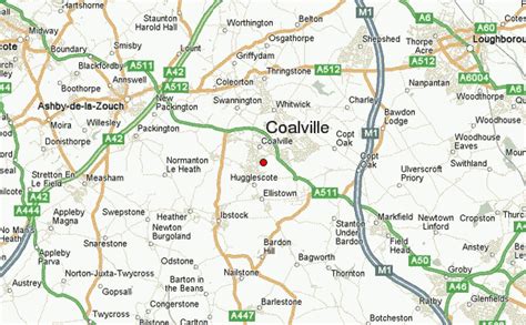
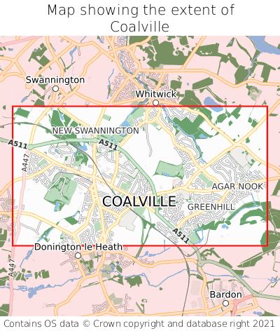
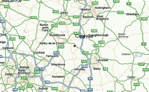
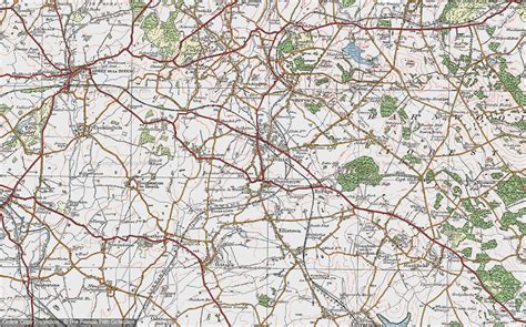
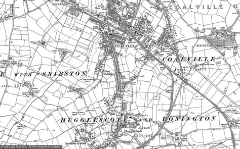
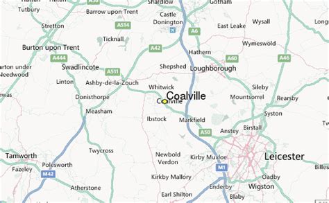
Location: Coalville 🌎
Location: Coalville, United Kingdom
Administration Region: Leicestershire
Population: 37661
ISO2 Code: Leicestershire
ISO3 Code: GBR
Location Type:
Latitude: 52.724
Longitude: -1.369
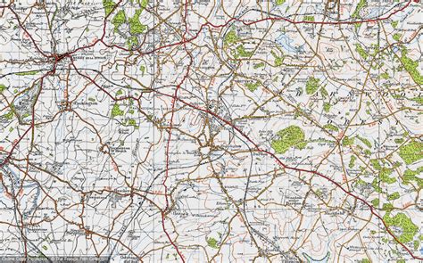
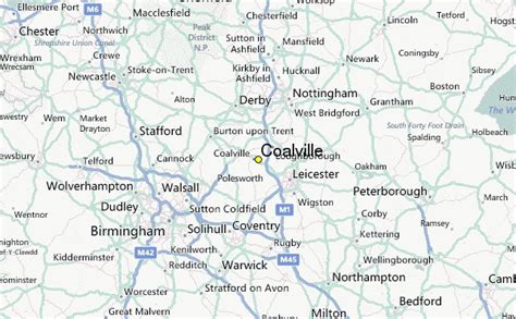
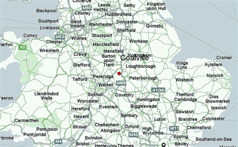
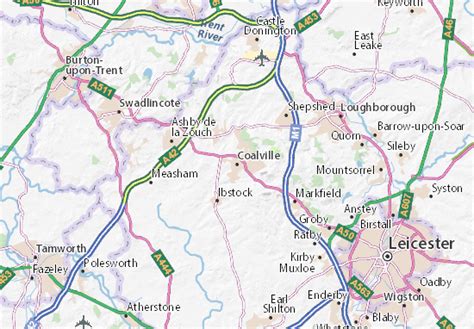
Coalville is a town and unparished area in the district of North West Leicestershire, Leicestershire in the East Midlands of England, with a population at the 2011 census of 34,575. It lies on the A511 trunk road between Leicester and Burton upon Trent, close to junction 22 of the M1 motorway where the A511 meets the A50 between Ashby-de-la-Zouch and Leicester. It borders the upland area of Charnwood Forest to the east of the town.
Coalville is twinned with Romans-sur-Isère in southeastern France.

Top Coalville HD Maps, Free Download 🗺️
Map
Maps
United States
United States
World Map
China
China
