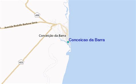
Conceição da Barra is the northernmost municipality in the Brazilian state of Espírito Santo. The city is also the northernmost coastal city of the state. Its population was 31,273 (2020) and its area is 1,188.044 km².
The municipality contains the 3,481 hectares (8,600 acres) Itaúnas State Park, created in 1991, which protects the coast up to the border with Bahia.
It contains the 2,817 hectares (6,960 acres) Rio Preto National Forest.
It contains part of the 1,503.75 hectares (3,715.8 acres) Córrego Grande Biological Reserve.
The climate is tropical, warm and mostly humid, with one or two dry months.
Average annual temperature is 22 to 24 °C (72 to 75 °F), and average annual rainfall is 1,250 to 1,500 millimetres (49 to 59 in).