Location: Corrientes 🌎
Location: Corrientes, Argentina
Administration Region: Corrientes
Population: 352646
ISO2 Code: Corrientes
ISO3 Code: ARG
Location Type: First-level Admin Capital
Latitude: -27.4833
Longitude: -58.8167
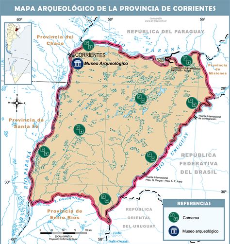
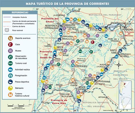
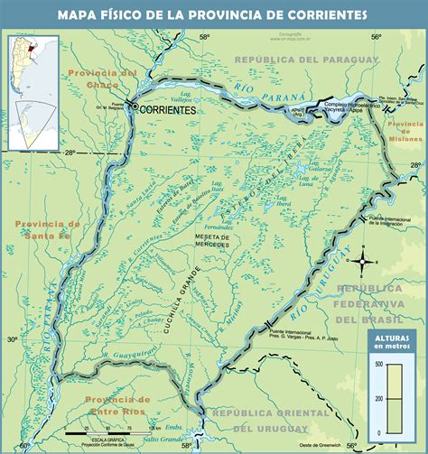
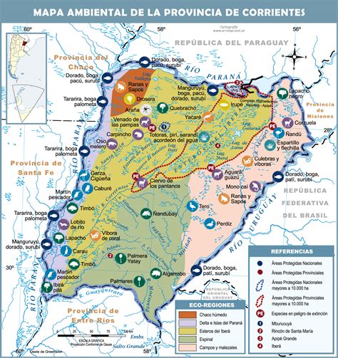
Corrientes (Spanish pronunciation: [koˈrjentes] ; Guaraní: Taragüí, literally: “Currents”) is the capital city of the province of Corrientes, Argentina, located on the eastern shore of the Paraná River, about 1,000 km (621 mi) from Buenos Aires and 300 km (186 mi) from Posadas, on National Route 12. It has a population of 346,334 according to the 2010 Census. It lies opposite its twin city, Resistencia, Chaco.
Corrientes has a mix of colonial and modern architecture, several churches and a number of lapacho, ceibo, jacaranda and orange trees. It is also home to one of the biggest carnival and chamamé celebrations in the country.
The annual average temperature is 21.3 °C (70.3 °F). The annual rainfall is around 1,500 millimetres (59 in).

Top Corrientes HD Maps, Free Download 🗺️
Map
Maps
United States
United States
World Map
China
China


