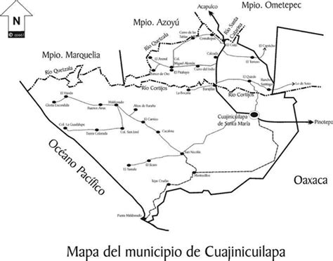
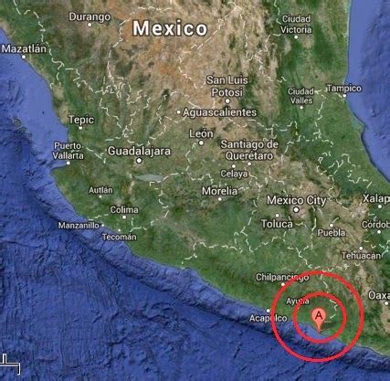
Location: Cuajinicuilapa 🌎
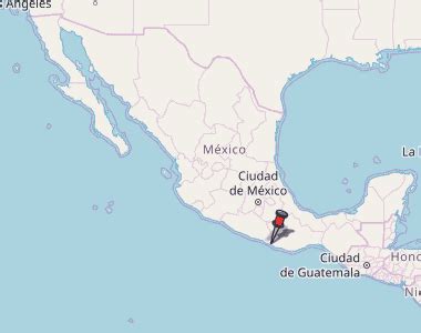
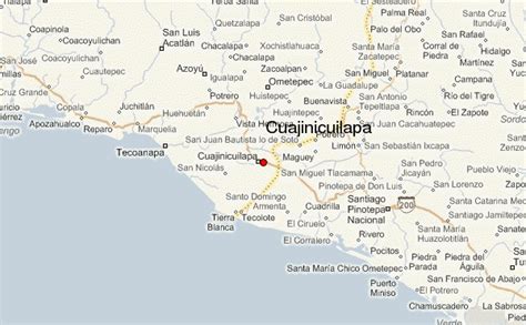
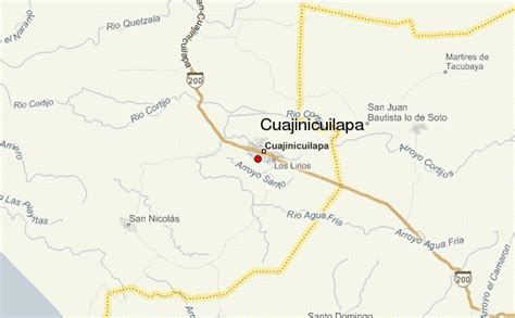
Location: Cuajinicuilapa, Mexico
Administration Region: Guerrero
Population: 26627
ISO2 Code: Guerrero
ISO3 Code: MEX
Location Type: Lower-level Admin Capital
Latitude:
Longitude:
Cuajinicuilapa is a town in Cuajinicuilapa Municipality in the Costa Chica region of the Mexican state of Guerrero. A low-lying area, it borders the Pacific Ocean and the state of Oaxaca. The municipality has the state’s largest population of Afro-Mexicans with most of the population of this ethnicity. The town and municipality are highly socioeconomically marginalized and it is the poorest municipality of the state, with the economy dependent on livestock and fishing.

Top Cuajinicuilapa HD Maps, Free Download 🗺️
Map
Maps
United States
United States
World Map
China
China


