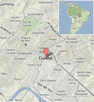
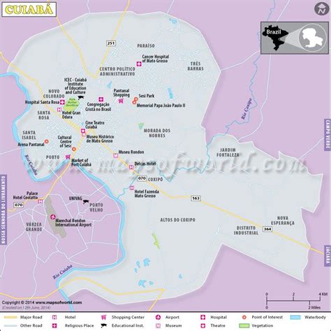
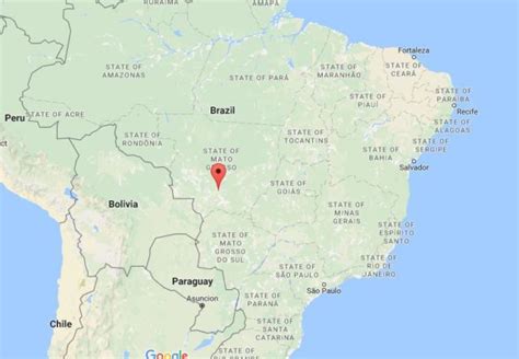
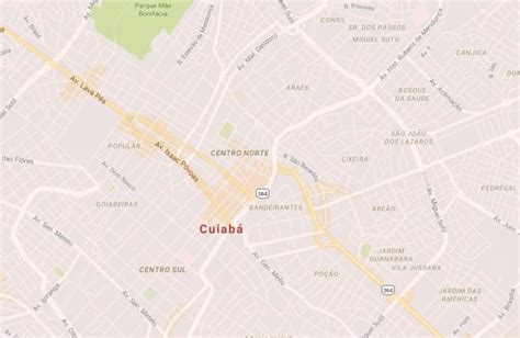
Location: Cuiabá 🌎
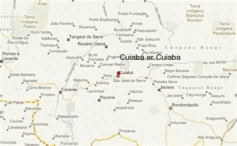
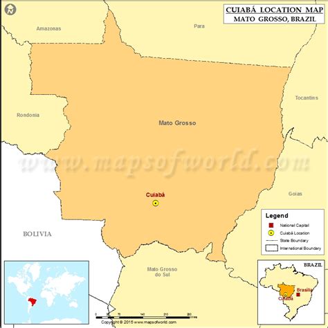
Location: Cuiabá, Brazil
Administration Region: Mato Grosso
Population: 585367
ISO2 Code: Mato Grosso
ISO3 Code: BRA
Location Type: First-level Admin Capital
Latitude: -15.5958
Longitude: -56.0969
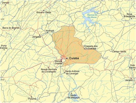
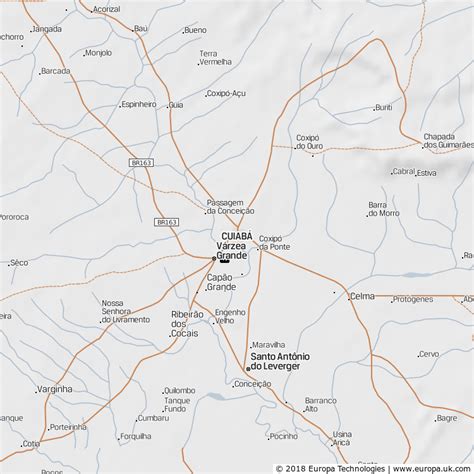
Cuiabá (Portuguese pronunciation: [kujaˈba]) is the capital city of the Brazilian state of Mato Grosso. It is located near the geographical centre of South America. Also, it forms the metropolitan area of Mato Grosso, along with the neighbouring town of Várzea Grande. The city’s name is an indigenous Bororo word meaning ‘arrow-fishing’, The city was founded in 1719, during the gold rush, and it has been the state capital since 1818. The city is a trading centre for an extensive cattle-raising and agricultural area. The capital is among the fastest-growing cities in Brazil, followed by the growth of agribusiness in Mato Grosso, despite the recession that is affecting Brazilian industries. Cuiabá was one of the host cities for the 2014 FIFA World Cup.
Cuiaba is the heart of an urban area that also includes the state’s second largest city, Várzea Grande. Thermal electric and hydroelectric plants located in the area have been expanded since the completion of a natural gas pipeline from Bolivia in 2000 (see Pantanal Pipeline by Alex Ramsay). The city is the seat of the Federal University of Mato Grosso and the largest football stadium of the state, Arena Pantanal.The city is a rich mix of European, African and Native American influences and numerous museums reflect this. Cuiabá is also notable for its cuisine, dance, music and craftwork. Known as the “Southern gate to the Amazon”, Cuiabá experiences a hot humid tropical climate.

Top Cuiabá HD Maps, Free Download 🗺️
Map
Maps
United States
United States
World Map
China
China
