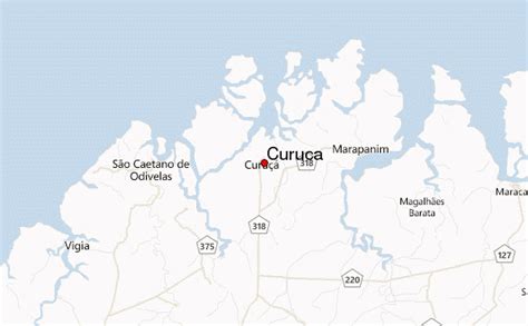
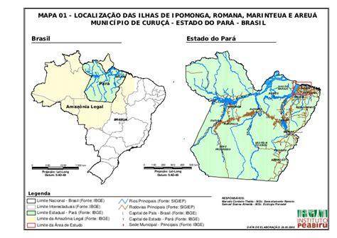
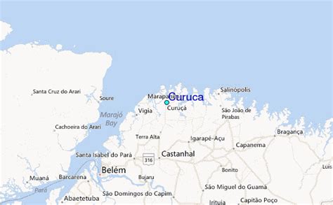
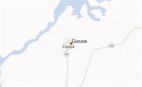
Location: Curuçá 🌎
Location: Curuçá, Brazil
Administration Region: Pará
Population: 38391
ISO2 Code: Pará
ISO3 Code: BRA
Location Type:
Latitude: -0.7339
Longitude: -47.855
Curuçá is a municipality in the state of Pará in the Northern region of Brazil.Curuçá was founded in 1775, but only became a city in 1895.
Some of the municipality was split off into separate municipalities in 1939, 1955 and 1991.
The Curuçá River flows from south to north through the municipality, emptying into the Atlantic Ocean.
The municipality contains the 37,062 hectares (91,580 acres) Mãe Grande de Curuçá Extractive Reserve, created in 2002, which protects the waters and banks of the estuary.

Top Curuçá HD Maps, Free Download 🗺️
Map
Maps
United States
United States
World Map
China
China


