Location: Czeladź 🌎
Location: Czeladź, Poland
Administration Region: Śląskie
Population: 30681
ISO2 Code: Śląskie
ISO3 Code: POL
Location Type:
Latitude: 50.3333
Longitude: 19.0833
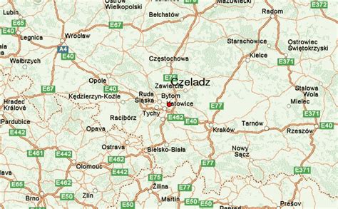
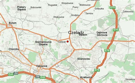
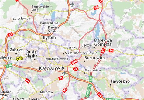
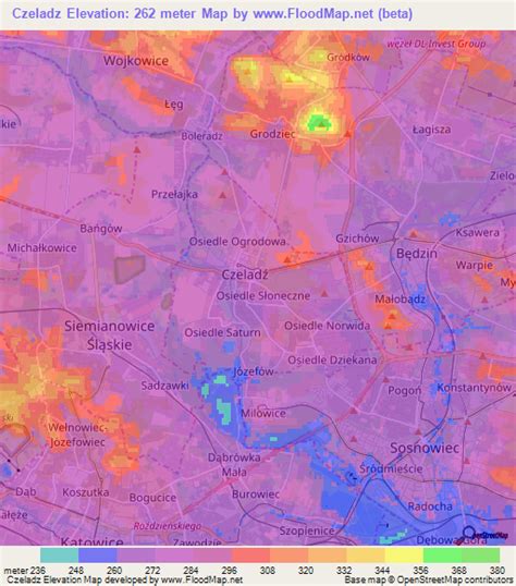
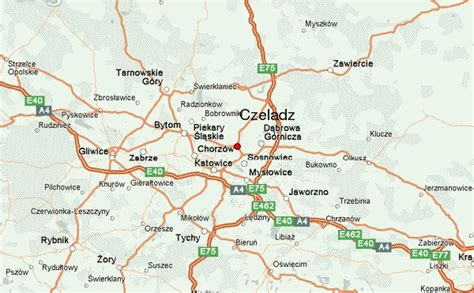
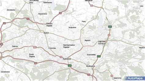
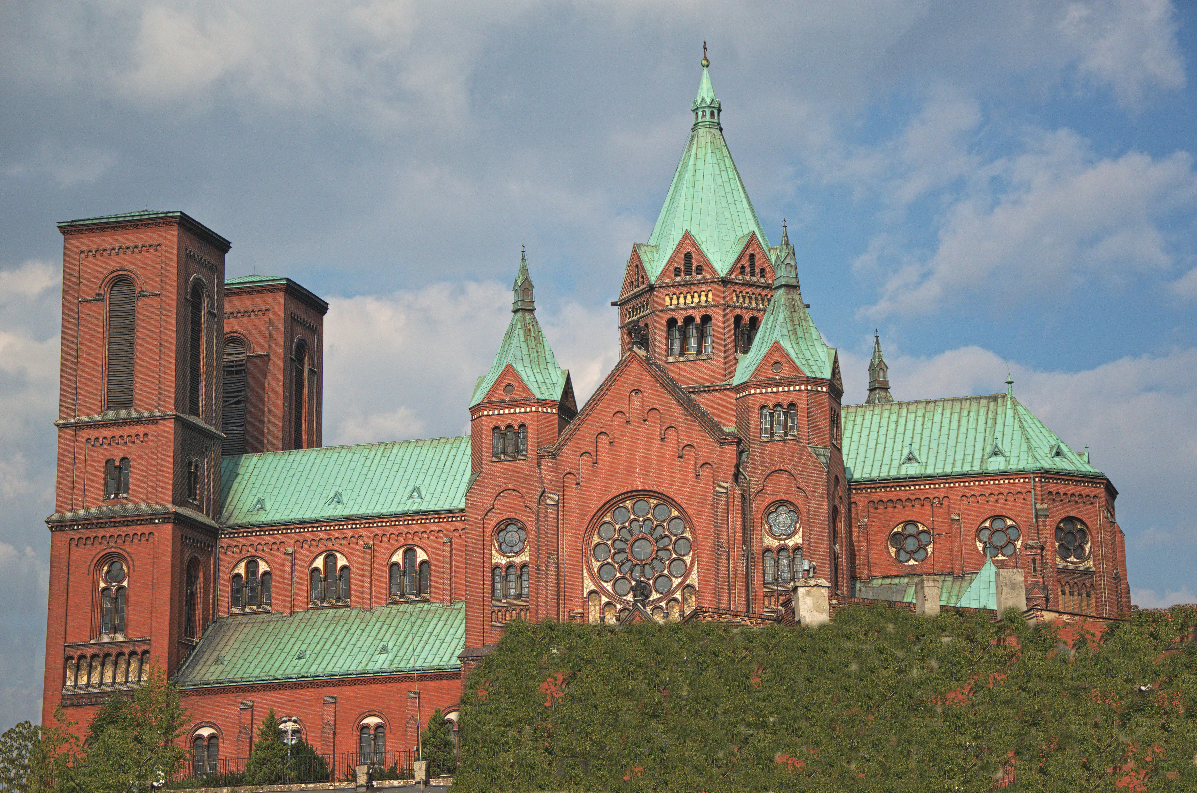
Czeladź ([ˈt͡ʂɛlat͡ɕ]; Yiddish: טשעלאַדזש, romanized: Chelodz) is a town in Zagłębie Dąbrowskie (part of historic Lesser Poland), in southern Poland, near Katowice and Sosnowiec. Located in the Silesian Highlands, on the Brynica river (tributary of the Vistula), it is the oldest urban center of Zagłębie Dąbrowskie. The area of Czeladź is 16 km2, and it borders Będzin, Sosnowiec, Katowice and Siemianowice Śląskie.
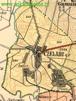
The town is situated in the Silesian Voivodeship since its formation in 1999, previously it was in Katowice Voivodeship. Czeladź is one of the cities of the 2,7 million conurbation – Katowice urban area and within a greater Silesian metropolitan area populated by about 5,294,000 people. The population of the town as of December 2021 is 30,732. Founded in the 13th century, Czeladź was granted city status in 1262. In the years 1434–1790, it belonged to the Duchy of Siewierz. In the 19th century, Czeladź became an important mining center, with the Saturn coal mine opened there in the late 19th century. It also was a main center of Jewish culture, destroyed in The Holocaust.
Top Czeladź HD Maps, Free Download 🗺️
Map
Maps
United States
United States
World Map
China
China
