Location: Dagami 🌎
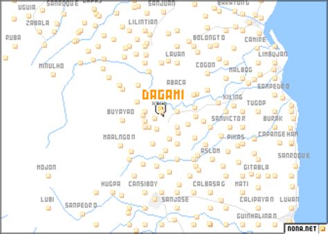
Location: Dagami, Philippines
Administration Region: Leyte
Population: 36178
ISO2 Code: Leyte
ISO3 Code: PHL
Location Type:
Latitude: 11.0611
Longitude: 124.9031
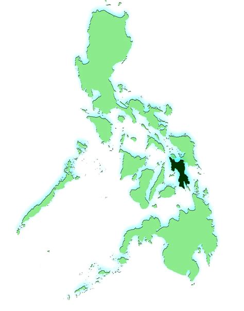
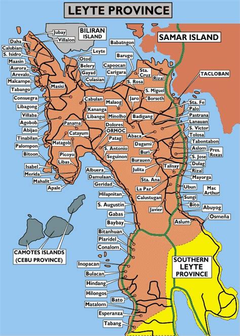
Dagami (IPA: [dɐ’gami]), officially the Municipality of Dagami (Waray: Bungto han Dagami; Tagalog: Bayan ng Dagami), is a 3rd class municipality in the province of Leyte, Philippines. According to the 2020 census, it has a population of 36,178 people. Waray-Waray is the language spoken by the residents called Dagamin-on.
It is classified as a third class municipality and mere dependent on agriculture such as coconut, rice and corn farming. The employment rate is 63% of the total population workforce in the municipality. Its total land area of 161.5 square kilometers, equivalent to 16,165 hectares. More than half of its plains on the eastern side is cultivated for rice and corn farming while the western side is planted with coconut trees. Coconut production is a major source of income.Tubâ and copra – the white raw material from the coconut where coconut oil is extracted.
The town of Dagami is famous for its local delicacies called binagól (a distinct dessert made from sweetened large mashed taro called talian packed inside a leaf-covered coconut shell), and morón (a kind of sweetened rice cake, optionally added with peanuts or chocolate wrapped inside a banana leaf) and sagmani.
The town of Dagami, Leyte celebrates its feast every 27 May, to honor the town’s patron, St. Joseph. They also celebrate this along with their festival, the Dinagamihan Festival
Top Dagami HD Maps, Free Download 🗺️
Map
Maps
United States
United States
World Map
China
China
