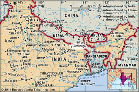
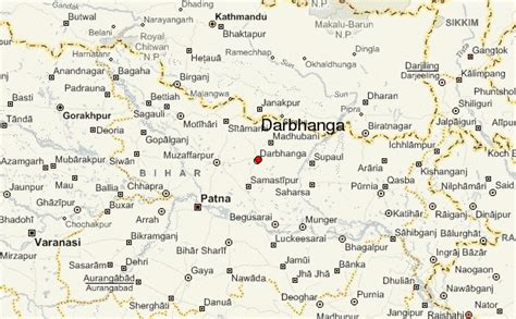
Location: Darbhanga 🌎
Location: Darbhanga, India
Administration Region: Bihār
Population: 380125
ISO2 Code: Bihār
ISO3 Code: IND
Location Type:
Latitude: 26.17
Longitude: 85.9
Darbhanga is the fifth-largest city and municipal corporation in the state of Bihar in India, and is considered an important city in North Bihar. It serves as the headquarters of the Darbhanga district and the Darbhanga division.
Darbhanga was the seat of the erstwhile Khandwala zamidaar dynasty under the Mughals and British India. It is the capital of the proposed Indian state, Mithila. It is considered an important medical center of North Bihar as it the location of Darbhanga Medical College and Hospital, and the second AIIMS of the state is to be constructed here.Darbhanga is one of the oldest cities in India. Musical, folk art, and literary traditions in Sanskrit, Maithili and Urdu have been passed down generations in Darbhanga and constitute the city’s strong cultural background. It is popularly known as the “Cultural Capital of Bihar” and the “Heart of Mithilaanchal”.
Top Darbhanga HD Maps, Free Download 🗺️
Map
Maps
United States
United States
World Map
China
China

