Location: Davangere 🌎
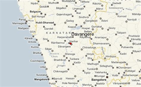
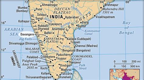
Location: Davangere, India
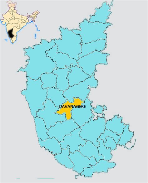
Administration Region: Karnātaka
Population: 435125
ISO2 Code: Karnātaka
ISO3 Code: IND
Location Type:
Latitude: 14.4666
Longitude: 75.9242
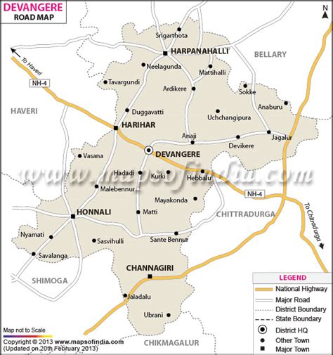
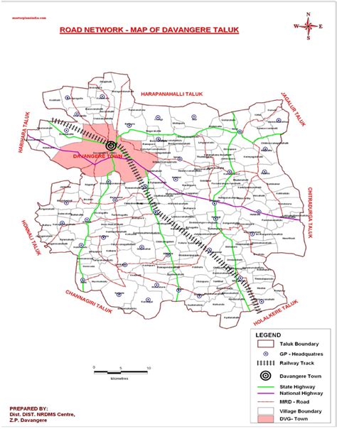
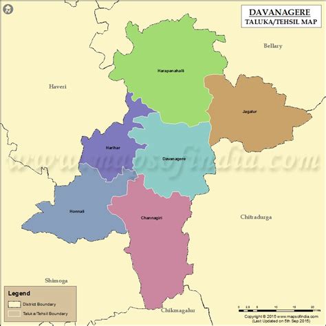
Davanagere is a city in the centre of the southern Indian state of Karnataka. It is the seventh largest city in the state, and the administrative headquarters of eponymous Davangere district. Hitherto being a cotton hub and hence popularly known before as the Manchester of Karnataka, the commercial ventures of the city is now dominated by education and agro-processing industries. Davanagere became a separate district in 1997, when it was separated from the erstwhile undivided district of Chitradurga for administration conveniences. Davanagere is known for rich culinary traditions which encompass the diversity of entire Karnataka’s dishes due to its geographical position in the state as its centre. Notable among them is its aromatic benne dosey/butter Dosa that is associated with the name of the city.Davanagere was selected as one of the hundred Indian cities to be developed as a smart city under Central government’s Smart Cities Mission. It was among the first 20 towns to be developed under the mission by Ministry of Urban Development. According to 2020 human living index, it was selected as the top 9th most livable city under 10 million population in India.

Top Davangere HD Maps, Free Download 🗺️
Map
Maps
United States
United States
World Map
China
China
