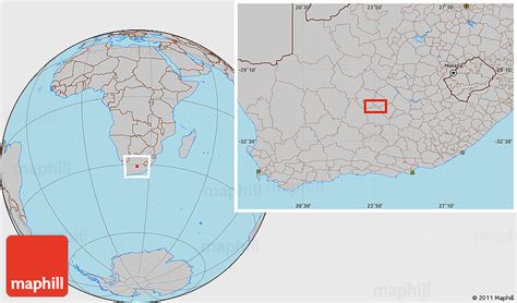
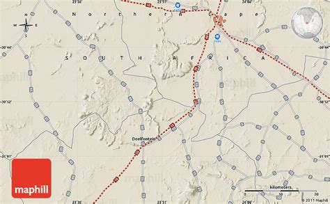
Location: De Aar 🌎
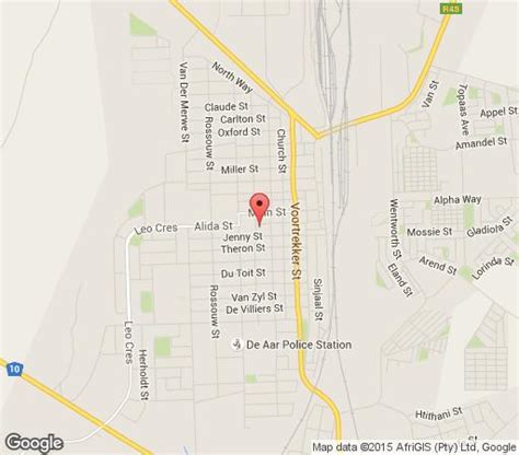
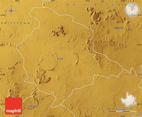
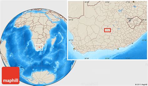
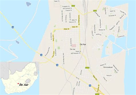
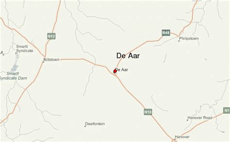
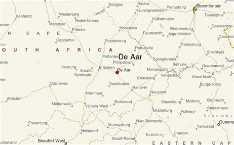
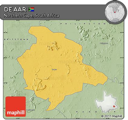
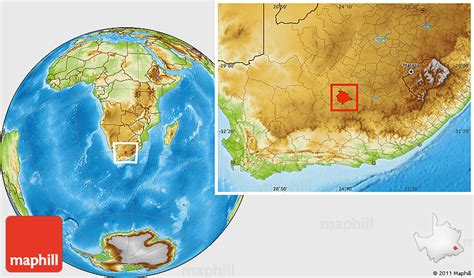
Location: De Aar, South Africa
Administration Region: Northern Cape
Population: 32318
ISO2 Code: Northern Cape
ISO3 Code: ZAF
Location Type:
Latitude: -30.65
Longitude: 24.0167
De Aar also known as Maraisfontein is a town in the Northern Cape province of South Africa. It has a population of around 42,000 inhabitants.It is the second-most important railway junction in the country[1], situated on the line between Cape Town and Kimberley. The junction was of particular strategic importance to the British during the Second Boer War. De Aar is also a primary commercial distribution centre for a large area of the central Great Karoo. Major production activities of the area include wool production and livestock farming. The area is also popular for hunting, although the region is rather arid. De Aar is also affectionately known as “Die SES” deriving its nickname from the six farms that have surrounded De Aar since the 1900s.
Top De Aar HD Maps, Free Download 🗺️
Map
Maps
United States
United States
World Map
China
China
