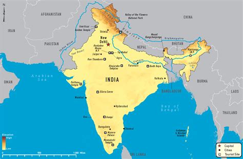
Location: Degāna 🌎
Location: Degāna, India
Administration Region: Rājasthān
Population: 34315
ISO2 Code: Rājasthān
ISO3 Code: IND
Location Type:
Latitude: 26.8951
Longitude: 74.3222
Degana is a town municipality and headquarter to Sub-Division and Tehsil located in Nagaur district of Rajasthan, India.
Degana Railway Junction was made at a place situated equidistant from 3 nearby villages in the pre-independence era on the Jaipur-Jodhpur railway track for having a railway node for nearby Tungsten mine & also for better operational control as there in a long section of 40 km without any station in-between. With the passage of time, a Town came into being by drawing more and more dwellers and houses in next 50 years nearer to the railway station due to the obvious advantage of Rail connectivity to more significant city centers like Jaipur, Jodhpur and Bikaner. As during those 50 years, the Road connectivity & Bus services were extremely poor in that region.
The city now has headquarters for Sub-division. Degana is 44 km From Makrana Railway station and 15 km from Gachhipura Railway station.
Top Degāna HD Maps, Free Download 🗺️
Map
Maps
United States
United States
World Map
China
China
