Location: Del Gallego 🌎
Location: Del Gallego, Philippines
Administration Region: Camarines Sur
Population: 26403
ISO2 Code: Camarines Sur
ISO3 Code: PHL
Location Type:
Latitude: 13.9233
Longitude: 122.5961
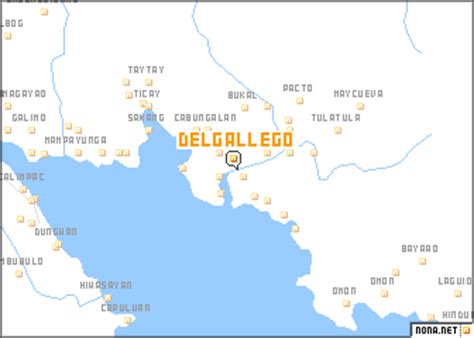
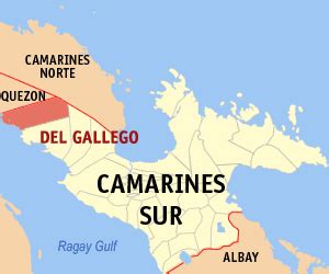
Del Gallego, officially the Municipality of Del Gallego (Central Bikol: Banwaan kan Del Gallego; Tagalog: Bayan ng Del Gallego), is a 4th class municipality in the province of Camarines Sur, Philippines. According to the 2020 census, it has a population of 26,403 people. It used to be called Danawin and is located along Quilbay River. It was established through Executive Order No. 56 Series of 1936 signed by then President Manuel L. Quezon.
The municipality celebrated its 80th foundation anniversary on October 5, 2017.
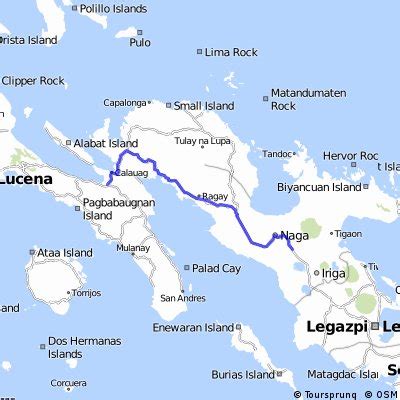
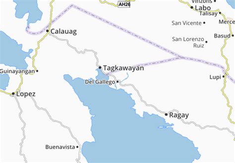
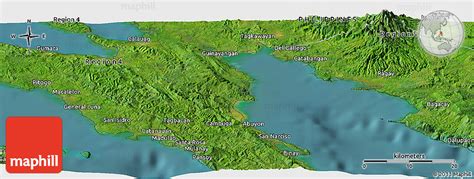
Del Gallego is the last town in the northern part of Camarines Sur. This is where the Quirino Highway (Andaya Highway) road meets with the first town of Quezon, Tagkawayan. It is 109 kilometres (68 mi) from Pili and 287 kilometres (178 mi) from Manila.
According to the town’s socio-economic profile in the year 1998, agricultural workers are greater in number reaching about 70% of the whole working force while the remaining 30% are engaged in non-agricultural occupations.

Top Del Gallego HD Maps, Free Download 🗺️
Map
Maps
United States
United States
World Map
China
China
