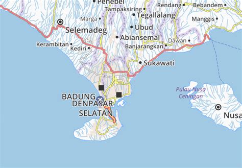
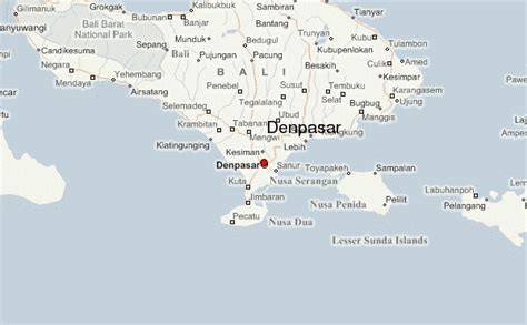
Denpasar (Indonesian pronunciation: [denˈpasar]; Balinese: ᬤᬾᬦ᭄ᬧᬲᬃ) is the capital city of the province of Bali, Indonesia. Denpasar is the main gateway to the Bali island, the city is also a hub for other cities in the Lesser Sunda Islands.
With the rapid growth of the tourism industry in Bali, Denpasar has encouraged and promoted business activities and ventures, contributing to it having the highest growth rate in Bali Province. The population of Denpasar was 725,314 at the 2020 Census, down from 788,445 at the 2010 Census due to pandemic outflow, despite having hit 879,098 in 2015, while the metropolitan area centred on Denpasar (called Sarbagita) had 2,388,680 residents in 2020. Pandemic and travel related closures has further exacerbated the population loss, with mid 2022 estimate of 653,136 people.