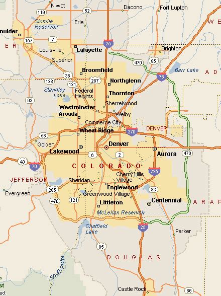
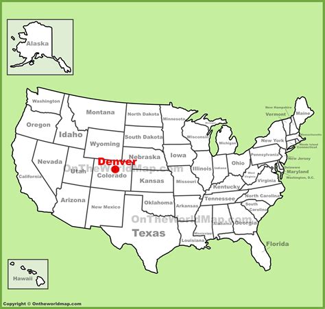
Denver ( DEN-vər) is a consolidated city and county and the capital and most populous city of the U.S. state of Colorado. Its population was 715,522 at the 2020 census, a 19.22% increase since 2010. It is the 19th-most populous city in the United States and the fifth most populous state capital. It is the principal city of the Denver–Aurora–Lakewood, CO Metropolitan Statistical Area and the first city of the Front Range Urban Corridor.
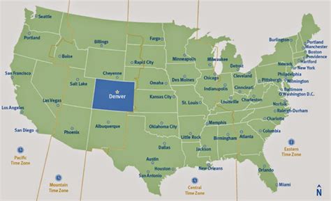
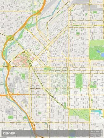
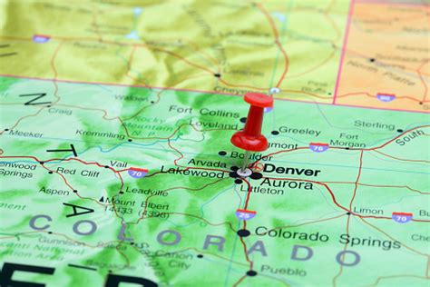
Denver is located in the western United States, in the South Platte River Valley on the western edge of the High Plains just east of the Front Range of the Rocky Mountains. Its downtown district is immediately east of the confluence of Cherry Creek and the South Platte River, approximately 12 miles (19 kilometres) east of the foothills of the Rocky Mountains. It is named after James W. Denver, a governor of the Kansas Territory. It is nicknamed the Mile High City because its official elevation is exactly one mile (5280 feet or 1609.344 meters) above sea level. The 105th meridian west of Greenwich, the longitudinal reference for the Mountain Time Zone, passes directly through Denver Union Station.
Denver is ranked as a Beta world city by the Globalization and World Cities Research Network. The 10-county Denver–Aurora–Lakewood, CO Metropolitan Statistical Area had a population of 2,963,821 at the 2020 United States census, making it the 19th most populous U.S. metropolitan statistical area. The 12-county Denver–Aurora, CO Combined Statistical Area had a population of 3,623,560 at the 2020 United States census, making it the 17th most populous U.S. primary statistical area. Denver is the most populous city of the 18-county Front Range Urban Corridor, an oblong urban region stretching across two states with a population of 5,055,344 at the 2020 United States Census. Its metropolitan area is the most populous metropolitan area within a 560-mile (900 km) radius and the second most populous city in the Mountain West after Phoenix, Arizona. In 2016, it was named the best place to live in the United States by U.S. News & World Report.