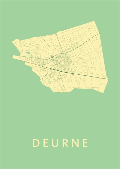
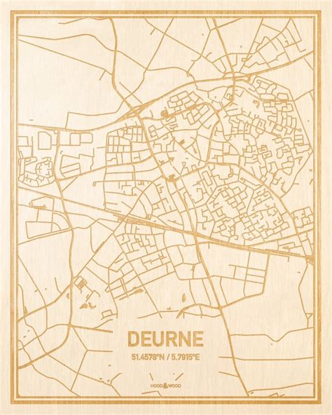
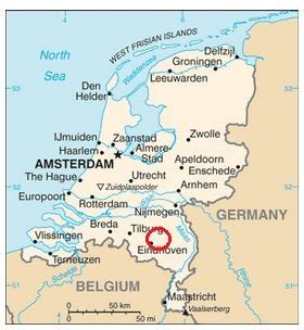
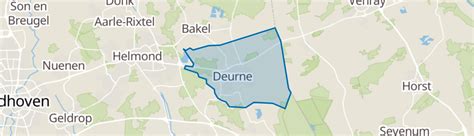
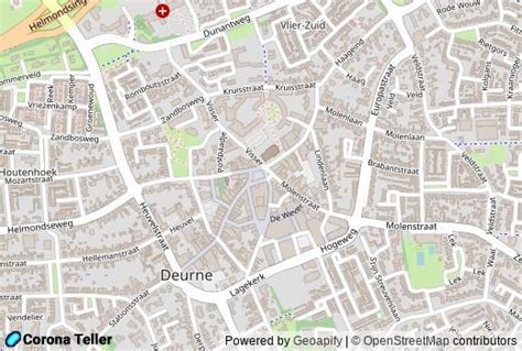
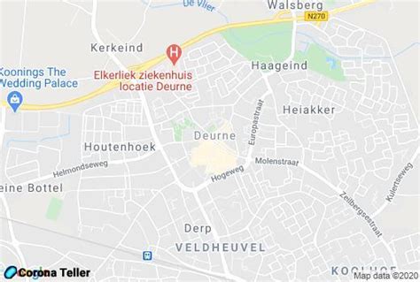
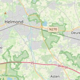
Deurne (Dutch pronunciation: [ˈdøːrnə] ) is a rural municipality and eponymous village in the province of North Brabant in the Netherlands. Including the villages of Liessel, Vlierden, Neerkant, and Helenaveen, Deurne had a population of 32,437 in 2021 and covers an area of 118.36 km2 (45.70 sq mi).