Location: Diadema 🌎
Location: Diadema, Brazil
Administration Region: São Paulo
Population: 426757
ISO2 Code: São Paulo
ISO3 Code: BRA
Location Type:
Latitude: -23.6861
Longitude: -46.6106
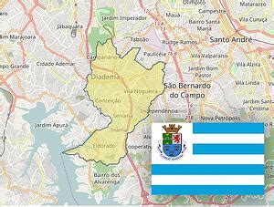
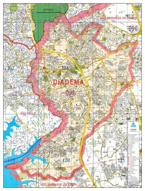
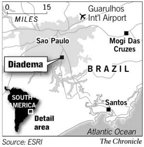
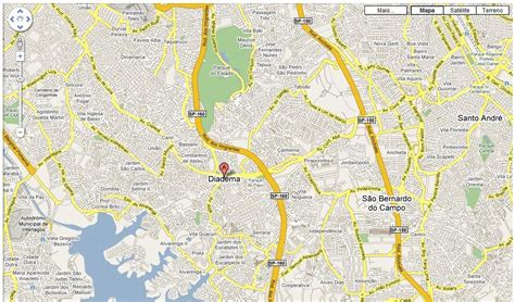
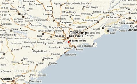
Diadema (Portuguese pronunciation: [dʒi.ɐˈdemɐ], Diadem) is a municipality in São Paulo state, Brazil. Belonging to the ABCD Region of Greater São Paulo, it is 17 km (11 mi) distant from São Paulo’s central point. Initially part of São Bernardo do Campo, Diadema became a city of its own in 1959. The population is 426,757 (2020 est.) in an area of 30.76 km2 (11.88 sq mi). The annual mean temperature in the city is 19.6 °C (67.3 °F). Its HDI is 0.790.
Although located in the heart of a traditionally industrial region, its main source of income is the service sector, featuring 77 healthcare installations. Diadema is home to a butterfly zoo, a botanical garden, an art museum and an observatory.

Top Diadema HD Maps, Free Download 🗺️
Map
Maps
United States
United States
World Map
China
China
