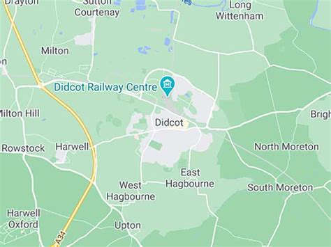
Didcot ( DID-kot, -kət) is a railway town and civil parish in the ceremonial county of Oxfordshire and the historic county of Berkshire. Didcot is 15 miles (24 km) south of Oxford, 10 miles (16 km) east of Wantage and 15 miles (24 km) north west of Reading. The town is noted for its railway heritage, Didcot station opening as a junction station on the Great Western Main Line in 1844. Today the town is known for the railway museum and power stations, and is the gateway town to the Science Vale: three large science and technology centres in the surrounding villages of Milton (Milton Park), Culham (Culham Science Centre) and Harwell (Harwell Science and Innovation Campus which includes the Rutherford Appleton Laboratory).