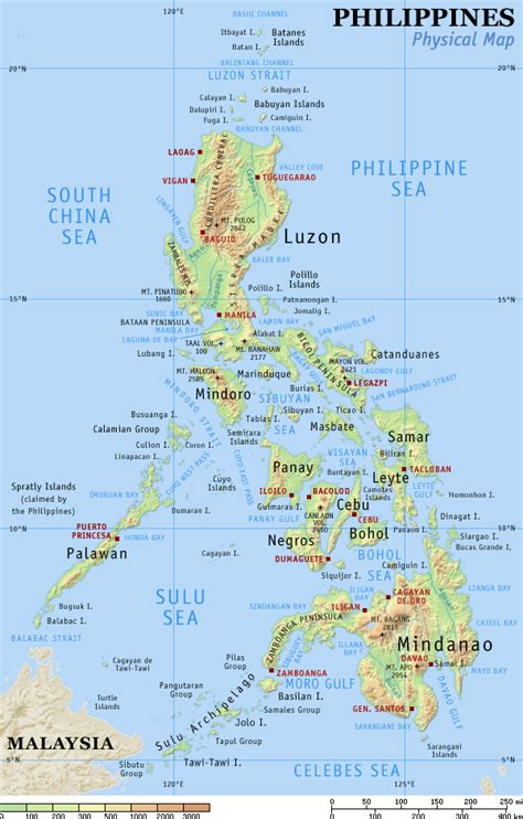
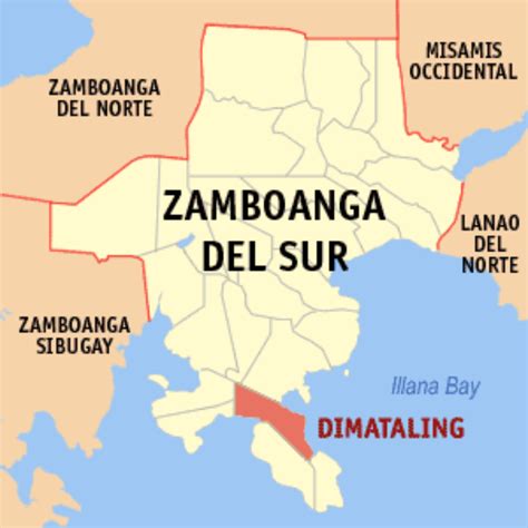
Location: Dimataling 🌎
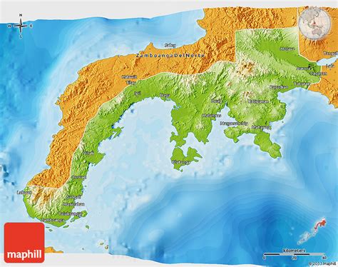
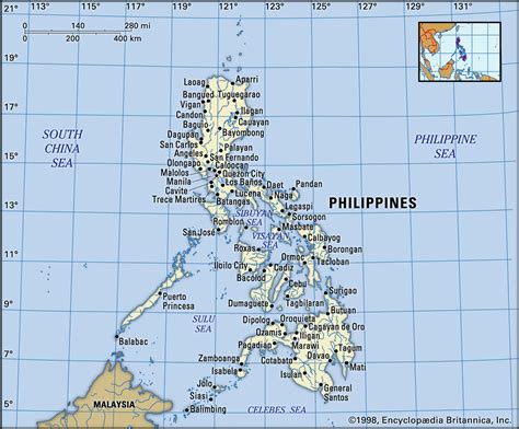
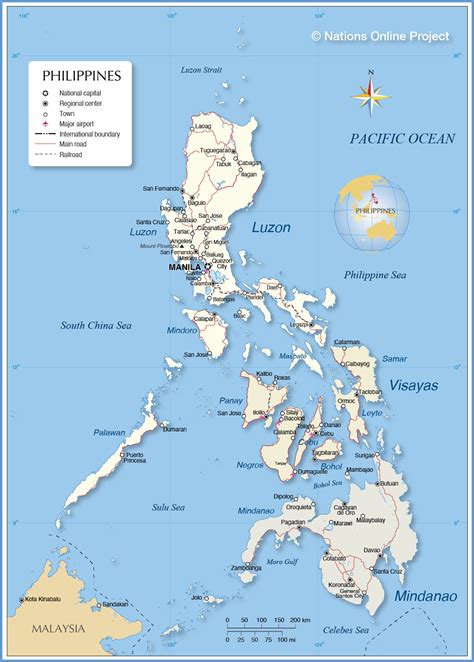
Location: Dimataling, Philippines Administration Region: Zamboanga del Sur Population: 31340 ISO2 Code: Zamboanga del Sur ISO3 Code: PHL Location Type: Latitude: 7.5297 Longitude: 123.3661
Dimataling, officially the Municipality of Dimataling (Cebuano: Lungsod sa Dimataling; Subanen: Benwa Dimataling; Chavacano: Municipalidad de Dimataling; Tagalog: Bayan ng Dimataling), is a 4th class municipality in the province of Zamboanga del Sur, Philippines. According to the 2020 census, it has a population of 31,340 people. Dimataling was created in 1950 from the barrios of Dinas, Legarda, Mirapao, Migpulao, Kalipapa, Pisaan, Bubway, Tiniguangan, Tabina and Dimataling from Pagadian (not yet as a city at that time) and the barrios of Punta Flecha, Pitogo, Qugbay, Balong-balong, Libertad and Dumanguilas from Margosatubig.

Top Dimataling HD Maps, Free Download 🗺️
Map
Maps
United States
United States
World Map
China
China