Location: Djibouti 🌎
Location: Djibouti, Djibouti
Administration Region: Djibouti
Population: 603900
ISO2 Code: Djibouti
ISO3 Code: DJI
Location Type: Primary Capital
Latitude: 11.5883
Longitude: 43.145
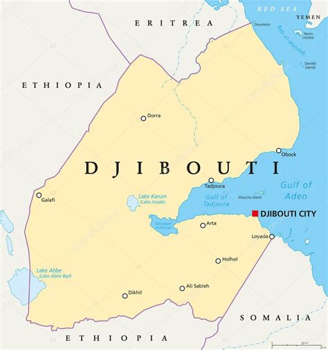
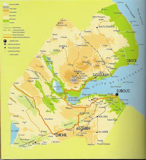
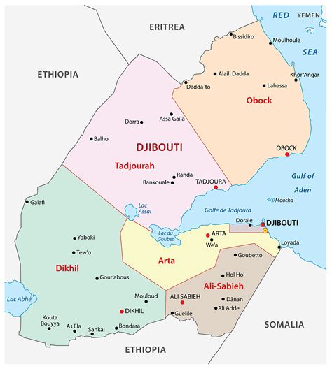
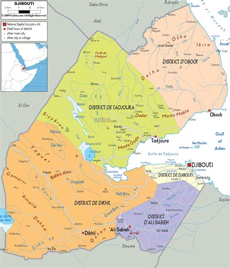
Djibouti (also called Djibouti City and in many early English texts and on many early maps, Jibuti; Somali: Magaalada Jabuuti, French: Ville de Djibouti, Arabic: مدينة جيبوتي, Afar: Gabuutî Magaala) is the eponymous capital of Djibouti, and has more people than the rest of Djibouti combined. It is located in the coastal Djibouti Region on the Gulf of Tadjoura.
Djibouti has a population of around 600,000 inhabitants, which counts for 54% of the country’s population. The settlement was founded in 1888 by the French, on land leased from the ruling Somali and Afar Sultans. During the ensuing period, it served as the capital of French Somaliland and its successor the French Territory of the Afars and Issas.
Known as the Pearl of the Gulf of Tadjoura due to its location, Djibouti is strategically positioned near the world’s busiest shipping lanes and acts as a refueling and transshipment center. The Port of Djibouti is the principal maritime port for imports to and exports from neighboring Ethiopia. Djibouti-Ambouli International Airport is the main domestic airport, connecting the capital to various major global destinations. Djibouti has the second-largest economy of any city in the Horn of Africa after Addis Ababa.
Top Djibouti HD Maps, Free Download 🗺️
Map
Maps
United States
United States
World Map
China
China
