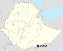
Location: Dolo Odo 🌎
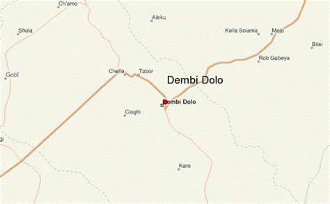
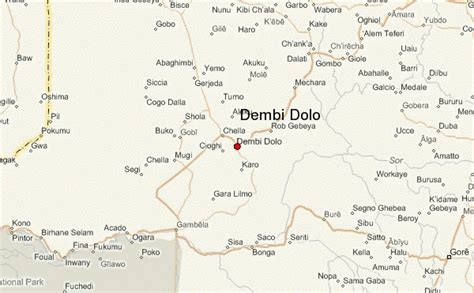
Location: Dolo Odo, Ethiopia
Administration Region: Sumalē
Population: 30970
ISO2 Code: Sumalē
ISO3 Code: ETH
Location Type:
Latitude: 4.4167
Longitude: 41.4167
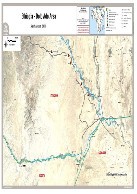
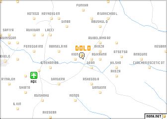
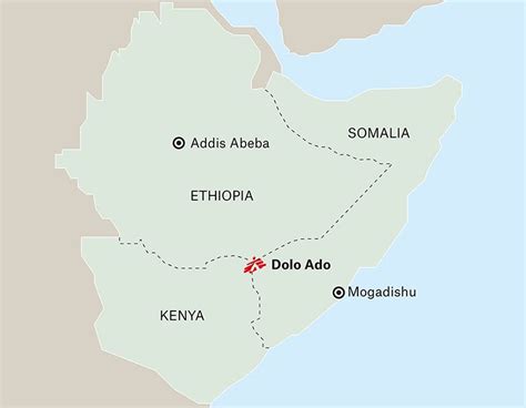
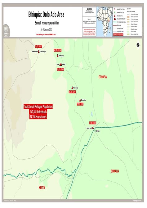
Dolo Addo or Dolo Ado or Dollo Ado (Somali: Dooloow) is one of the woredas in the Somali Region of Ethiopia. Part of the Liben Zone, Dolo Ado is located in the angle formed by the confluence of the Ganale Dorya with the Dawa River, and bordered to the northwest by Filtu, on the northeast by Afder Zone, on the southeast by Somalia, and on the south by Kenya. Towns in Dollo Ado include Bekol May, Dolo and Suftu. It is home to Garimarro and Degodia who are living in dollo ado
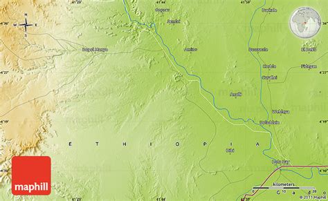
The altitude of this woreda ranges from 200 to 1000 meters above sea level. Other rivers in this woreda include the Mena. As of 2008, Dolo Ado has 120 kilometers of all-weather gravel road and 540 kilometers of community roads; about 58.8% of the total population has access to drinking water.

Top Dolo Odo HD Maps, Free Download 🗺️
Map
Maps
United States
United States
World Map
China
China
