Location: Dolores 🌎
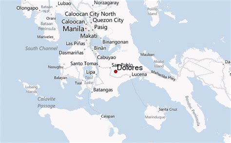
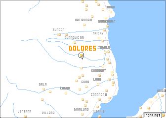
Location: Dolores, Philippines
Administration Region: Eastern Samar
Population: 44626
ISO2 Code: Eastern Samar
ISO3 Code: PHL
Location Type:
Latitude: 12.0378
Longitude: 125.4828
Dolores (IPA: [ˌdoˈlorɛs]), officially the Municipality of Dolores (Waray: Bungto han Dolores; Tagalog: Bayan ng Dolores), is a 3rd class municipality in the province of Eastern Samar, Philippines. According to the 2020 census, it has a population of 44,626 people. Dolores is a coastal town bounded on the east by the Pacific Ocean in the Eastern Visayas region of the Philippines. It has many beaches and small islands. Most of the populace speak and understand English.

Top Dolores HD Maps, Free Download 🗺️
Map
Maps
United States
United States
World Map
China
China


