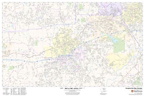
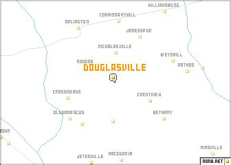
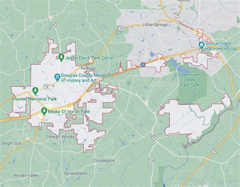
Location: Douglasville 🌎
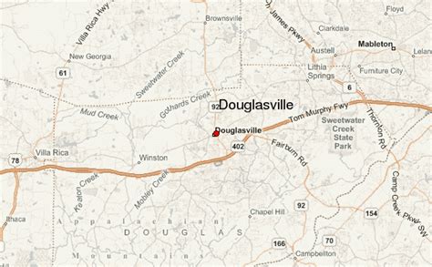
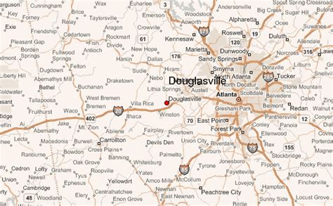
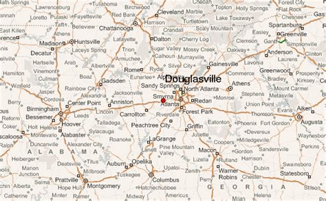
Location: Douglasville, United States
Administration Region: Georgia
Population: 34410
ISO2 Code: Georgia
ISO3 Code: USA
Location Type:
Latitude: 33.7497
Longitude: -84.7231
The city of Douglasville is the county seat of Douglas County, Georgia, United States. As of the 2020 census, the city had a population of 34,650, up from 30,961 in 2010 and 20,065 in 2000.
Douglasville is located approximately 20 miles (32 km) west of Atlanta and is part of the Atlanta Metro Area. Highway access can be obtained via three interchanges along Interstate 20.

Top Douglasville HD Maps, Free Download 🗺️
Map
Maps
United States
United States
World Map
China
China
