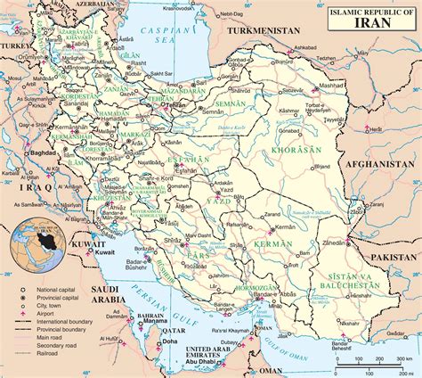
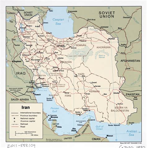
Location: Dowlatābād 🌎
Location: Dowlatābād, Iran
Administration Region: Eşfahān
Population: 40945
ISO2 Code: Eşfahān
ISO3 Code: IRN
Location Type: Lower-level Admin Capital
Latitude: 30.4131
Longitude: 55.8567
Dowlatabad (Persian: دولت آباد, also Romanized as Dowlatābād; also known as Bahrāmābād and Dowlatābād-e Harandī) is a village in Eslamiyeh Rural District, in the Central District of Rafsanjan County, Kerman Province, Iran. At the 2006 census, its population was 377, in 83 families.
Top Dowlatābād HD Maps, Free Download 🗺️
Map
Maps
United States
United States
World Map
China
China


