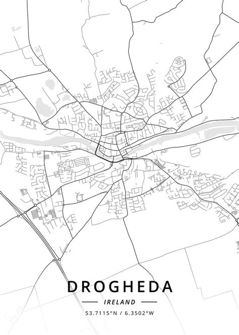
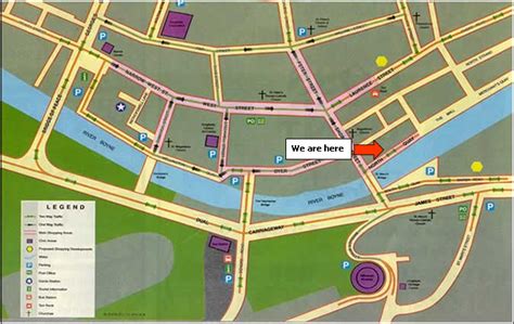
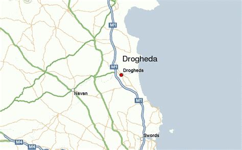
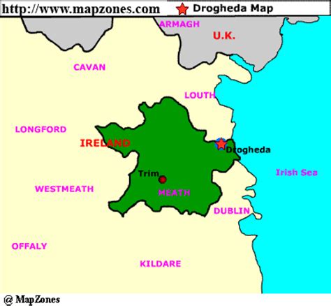
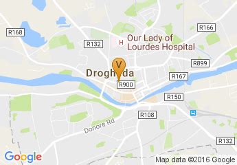
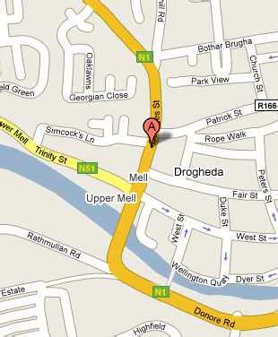
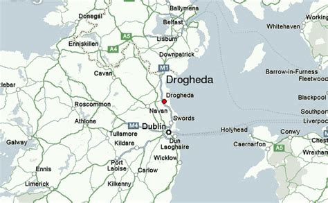
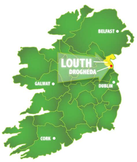
Drogheda ( DRO-həd-ə, DRAW-də; Irish: Droichead Átha [ˈd̪ˠɾˠɛhəd̪ˠ ˈaːhə], meaning “bridge at the ford”) is an industrial and port town in County Louth on the east coast of Ireland, 56 km (35 mi) north of Dublin. It is located on the Dublin–Belfast corridor on the east coast of Ireland, mostly in County Louth but with the south fringes of the town in County Meath, 49 km (30 mi) north of Dublin. Drogheda has a population of approximately 41,000 inhabitants (2016), making it the eleventh largest settlement by population in all of Ireland, and the largest town in the Republic of Ireland by both population and area. It is the last bridging point on the River Boyne before it enters the Irish Sea. The UNESCO World Heritage Site of Newgrange is located 8 km (5.0 mi) west of the town.
Drogheda was founded as two separately administered towns in two different territories: Drogheda-in-Meath (i.e. the Lordship and Liberty of Meath, from which a charter was granted in 1194) and Drogheda-in-Oriel (or ‘Uriel’, as County Louth was then known). The division came from the twelfth-century boundary between two Irish kingdoms, colonised by different Norman interests, just as the River Boyne continues to divide the town between the dioceses of Armagh and Meath. In 1412 these two towns were united, and Drogheda became a county corporate, styled as “the County of the Town of Drogheda”. Drogheda continued as a county borough until the establishment of county councils under the Local Government (Ireland) Act 1898, which saw all of Drogheda, including a large area south of the Boyne, become part of an extended County Louth. With the passing of the County of Louth and Borough of Drogheda (Boundaries) Provisional Order 1976, County Louth again grew larger at the expense of County Meath. The boundary was further altered in 1994 by the Local Government (Boundaries) (Town Elections) Regulations 1994. The 2007–2013 Meath County Development Plan recognises the Meath environs of Drogheda as a primary growth centre on a par with Navan.
The town was selected to host Fleadh Cheoil na hÉireann for two years in 2018.