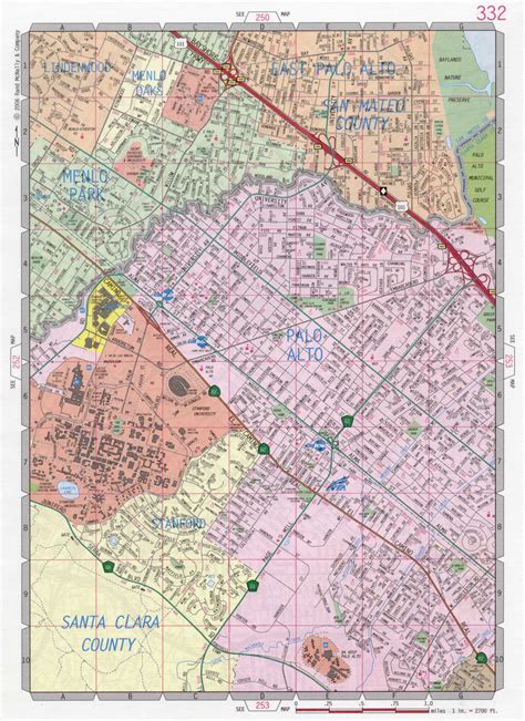
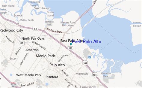
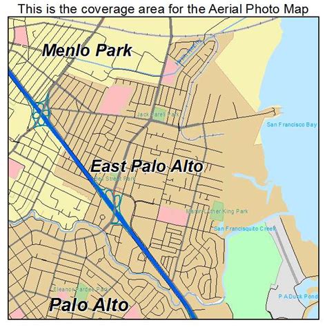
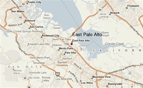
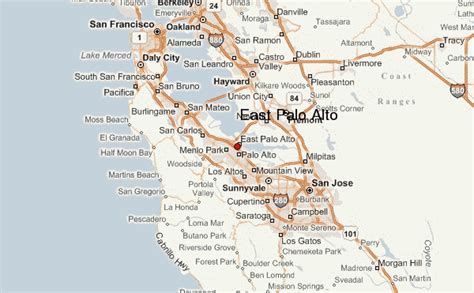
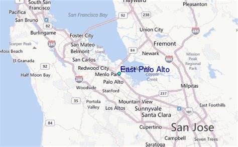
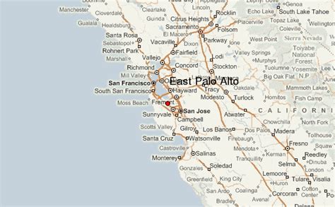
East Palo Alto (abbreviated E.P.A.) is a city in San Mateo County, California, United States. As of the 2020 census, the population of East Palo Alto was 30,034. It is situated on the San Francisco Peninsula, roughly halfway between the cities of San Francisco and San Jose. To the north and east is the San Francisco Bay, to the west is the city of Menlo Park, and to the south the city of Palo Alto. Despite being called “East” Palo Alto, the city is directly north of Palo Alto. While often incorrectly assumed to be part of the city of Palo Alto, East Palo Alto has always been a separate entity since its founding as an unincorporated community and its incorporation in July 1983. It is also in San Mateo County, while Palo Alto is in Santa Clara County. The two cities are separated only by San Francisquito Creek and, largely, the Bayshore Freeway (the vast majority of East Palo Alto is northeast of the freeway, while all of the residential part of Palo Alto is southwest of the freeway). The revitalization projects in 2000, and high income high-tech professionals moving into new developments, including employees from Google and Facebook, have begun to eliminate the cultural and economic differences between the two cities. East Palo Alto and Palo Alto share both telephone area codes and postal ZIP codes.
In 1990, 43% of East Palo Alto’s residents were African Americans, which was the result of redlining practices and racial deed restrictions in Palo Alto. As of 2020, Latinos constitute about 66% of the total population, while the proportion of African Americans has decreased to about 11%. A small minority of Pacific Islanders also reside in East Palo Alto, most of Tongan, Samoan and Fijian origin.The prosperity that benefited the Silicon Valley during the dot-com boom of the late 1990s largely bypassed East Palo Alto. The Ravenswood City School District, which serves East Palo Alto and part of adjoining Menlo Park, has struggled with low academic performance. Eventually, however, the Peninsula’s shortage of land and soaring property prices meant that even East Palo Alto became an option for urban regeneration. Until recently, gentrification has been rare in East Palo Alto.East Palo Alto also includes a small piece of land across the Bayshore Freeway (U.S. Route 101) from the shopping center, a roughly triangular area between US 101 and San Francisquito Creek, formerly the site of a two-block-long retail business district known as Whiskey Gulch. The name dates back to the time when Stanford University, on the other side of Palo Alto to the west, was dry and prohibited alcohol sales within a radius of one-mile (1.6 km) from the campus. Whiskey Gulch, which was just outside these limits, became home to a number of liquor stores, bars, and music venues. Long after the university had relaxed its prohibition rules, the neighborhood still retained this character until 2000, when the city tore down Whiskey Gulch and replaced it with the University Circle office complex. A 200-room Four Seasons hotel opened in University Circle in 2006.
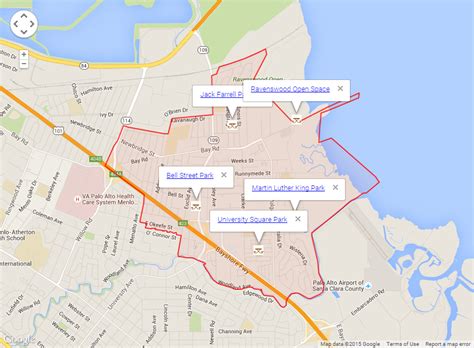
Over 25% of East Palo Alto (400+ acres) has been bulldozed and replaced with brand new housing and brand-name retail establishments over the last 10–15 years (since approximately 1997), including IKEA, Target, Home Depot, Nordstrom Rack, Togo’s, Starbucks, Office Depot, Mi Pueblo Food Center, PGA Tour Superstore, 6 to 9 Dental and Jamba Juice, attracting an entirely new demographic. The University Square community has become particularly appealing to young high-tech professionals and high-income couples, including many employees from Google, Facebook, Sun Microsystems, Yahoo!, and various other software and startup companies.