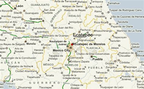
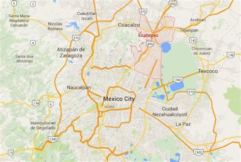
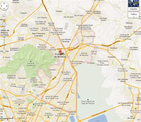
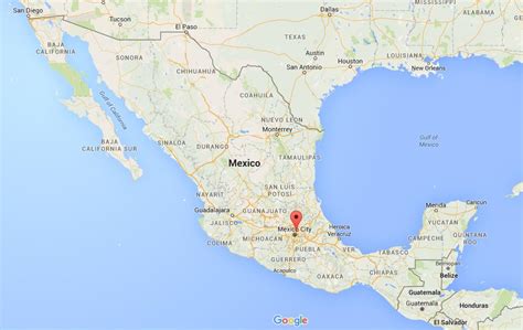
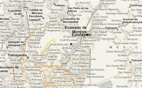
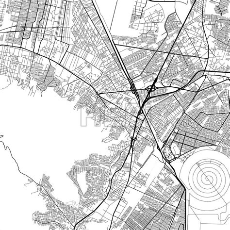
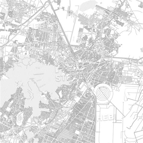
Location: Ecatepec 🌎
Location: Ecatepec, Mexico
Administration Region: México
Population: 1929926
ISO2 Code: México
ISO3 Code: MEX
Location Type: Lower-level Admin Capital
Latitude: 19.6097
Longitude: -99.06
Ecatepec (Spanish: [ekateˈpek] ), officially Ecatepec de Morelos, is a municipality in the central Mexican state of Mexico, and is situated in the north part of the greater Mexico City urban area. The municipal seat is San Cristóbal Ecatepec.
The city of Ecatepec is practically co-extensive with the municipality, comprising 99% of the total municipal population of 1,645,352. It is Mexico’s fourth most-populous municipality after Tijuana, León and Puebla, and the most populated suburb of Greater Mexico City.
The name “Ecatepec” is derived from Nahuatl, and means “windy hill” or “hill devoted to Ehecatl (the wind god).” It was also an alternative name or invocation to the god Quetzalcoatl. “Morelos” is the last name of José María Morelos, a hero of the Mexican War of Independence. Saint Christopher is the city’s patron saint, celebrated on July 25.Ecatepec is served by the Mexico City metro, by the State of Mexico’s Mexibús bus rapid transit lines, and by Mexicable aerial cable car lines.
Points of interest include the newest Catholic cathedral in Mexico, Sagrado Corazón de Jesús, several colonial era churches, and the Morelos Museum in “Casa de los Virreyes”. Mexico’s busiest shopping center, Multiplaza Aragón, is also located in Ecatepec.
Top Ecatepec HD Maps, Free Download 🗺️
Map
Maps
United States
United States
World Map
China
China
