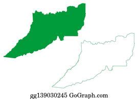
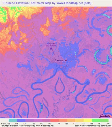
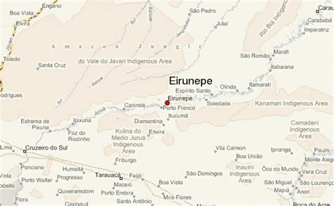
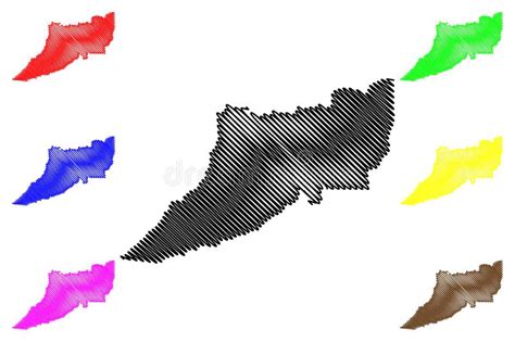
Location: Eirunepé 🌎
Location: Eirunepé, Brazil
Administration Region: Amazonas
Population: 34025
ISO2 Code: Amazonas
ISO3 Code: BRA
Location Type:
Latitude:
Longitude:
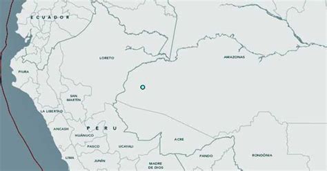
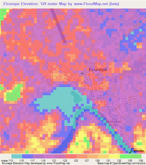
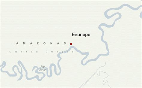
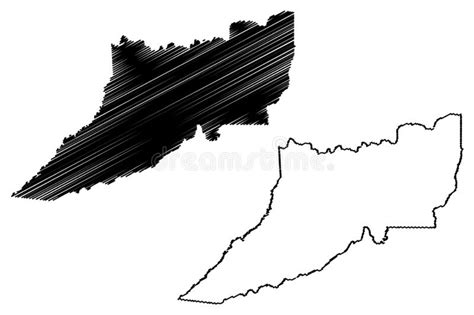
Eirunepé is a Brazilian municipality in the southwest part of the state of Amazonas, about 1,150 kilometers a straight line from Manaus and 2,417 kilometers by river, one of the cities furthest from its state capital. It is thought to have ecotourism potential. It is the fourth largest city in the Southwest region.
The municipality contains 41.22% of the 427,004 hectares (1,055,150 acres) Rio Gregório Extractive Reserve.

Top Eirunepé HD Maps, Free Download 🗺️
Map
Maps
United States
United States
World Map
China
China
