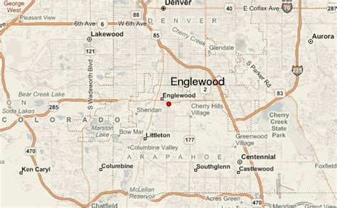
Location: Englewood 🌎
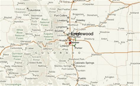
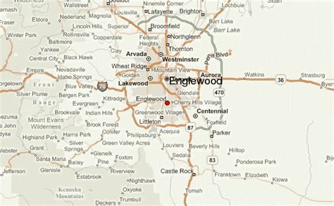
Location: Englewood, United States
Administration Region: Colorado
Population: 33500
ISO2 Code: Colorado
ISO3 Code: USA
Location Type:
Latitude: 39.6417
Longitude: -105.1053
The Federal Correctional Institution, Englewood (FCI Englewood) is a low-security United States federal prison for male inmates in Colorado. It is operated by the Federal Bureau of Prisons (BOP), a division of the United States Department of Justice. The facility also has an administrative detention center and an adjacent satellite prison camp for minimum-security offenders.
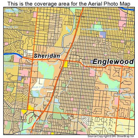
FCI Englewood is located in unincorporated Jefferson County. FCI Englewood is located off of U.S. Route 285 and Kipling Street, 10 miles (16 km) southwest of Downtown Denver. The facility is named after the city of Englewood, Colorado, and has a Littleton, Colorado, mailing address, but is not in either city.FCI Englewood had the worst COVID-19 outbreak in the federal prison system, with more than half of incarcerated people contracting the virus.

Top Englewood HD Maps, Free Download 🗺️
Map
Maps
United States
United States
World Map
China
China
